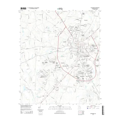
2014 Map of Statesboro
USGS Topo · Published 2014About this map
Statesboro serves as the central hub of this South Georgia landscape, dominated by the expansive campus of Georgia Southern University. The town's growth is evident in the ring of residential developments like Greenwood, Deerfield, and Lakeview Estates that encircle the historic core. Local family history is preserved in scattered burial grounds throughout the countryside, including Akins Cem, Deal Cem, and Rigdon Cem, providing key markers for genealogical research.
Find a feature on this map
75 named features on this map. Tap any name to fly to it.
Don’t see what you’re looking for? This feature index may not catch every label — zoom into the map to look around manually.
Map Details
Editions of this 2014 Statesboro Map
This is the sole edition of this map. No revisions or reprints were ever made.
Other maps of this area

1918 · Oliver
USGS Topo · 1:62,500

1920 · Statesboro
USGS Topo · 1:62,500

1920 · Oliver
USGS Topo · 1:62,500

1921 · Brooklet
USGS Topo · 1:62,500

1921 · Rocky Ford
USGS Topo · 1:62,500

1943 · Brooklet
USGS Topo · 1:62,500

1943 · Rocky Ford
USGS Topo · 1:62,500

1943 · Millen
USGS Topo · 1:125,000

1943 · Statesboro
USGS Topo · 1:62,500

1943 · Oliver
USGS Topo · 1:62,500