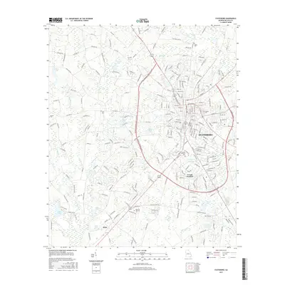
2017 Map of Statesboro
USGS Topo · Published 2017About this map
Statesboro serves as the bustling centerpiece of this Bulloch County landscape, dominated by the sprawling campuses of Georgia Southern University and Ogeechee Technical College. The map illustrates a modern regional hub where residential expansion meets a complex network of waterways, including Little Lotts Creek and Dry Branch. To the west, the settlement of Jimps sits near Riggs Lake, marking a transition into a more rural terrain defined by family-named holdings and agricultural tracts.
Find a feature on this map
124 named features on this map. Tap any name to fly to it.
Don’t see what you’re looking for? This feature index may not catch every label — zoom into the map to look around manually.
Map Details
Editions of this 2017 Statesboro Map
This is the sole edition of this map. No revisions or reprints were ever made.
Other maps of this area

1918 · Oliver
USGS Topo · 1:62,500

1920 · Statesboro
USGS Topo · 1:62,500

1920 · Oliver
USGS Topo · 1:62,500

1921 · Brooklet
USGS Topo · 1:62,500

1921 · Rocky Ford
USGS Topo · 1:62,500

1943 · Brooklet
USGS Topo · 1:62,500

1943 · Rocky Ford
USGS Topo · 1:62,500

1943 · Millen
USGS Topo · 1:125,000

1943 · Statesboro
USGS Topo · 1:62,500

1943 · Oliver
USGS Topo · 1:62,500