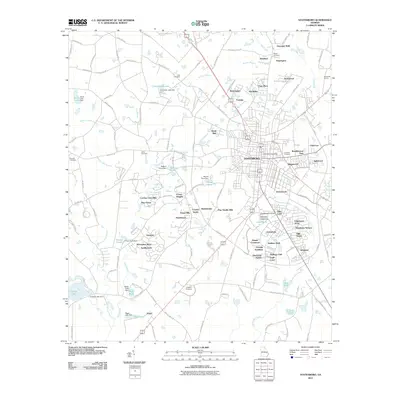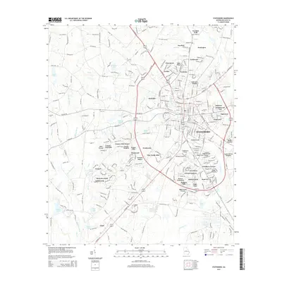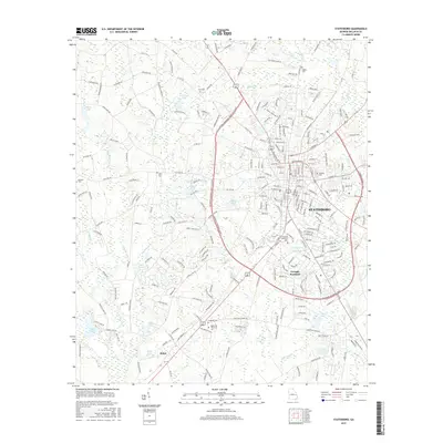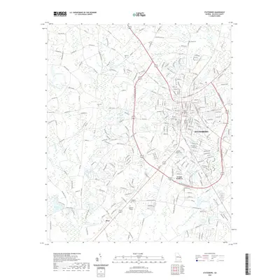
1993 Map of Statesboro
USGS Topo · Published 1998About this map
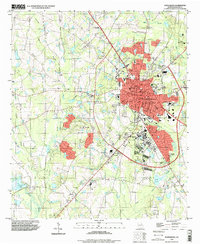
Statesboro serves as the central hub of this Bulloch County landscape, shown here as a growing college town defined by its street grid and the presence of Georgia Southern College. The map captures the city's expansion during the late twentieth century, with residential developments like Jewel Dr and Debbie Dr pushing toward the outskirts. Beyond the urban core, the terrain is characterized by a network of creeks including Mill Creek, Lotts Creek, and Little Lotts Creek, which drain the surrounding agricultural and wooded lands. Genealogists and local historians will find significant value in the numerous family cemeteries and country churches scattered across the rural landscape, such as Rigdon Cem, Akins Cem, and Bethlehem Ch. The southern portion of the map transitions into more wetlands, featuring Cypress Lake and Bird Pond, illustrating the varied geography of the Georgia coastal plain.
Find a feature on this map
54 named features on this map. Tap any name to fly to it.
Don’t see what you’re looking for? This feature index may not catch every label — zoom into the map to look around manually.
Map Details
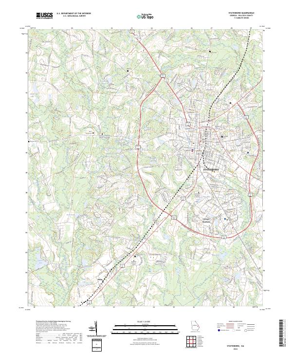
Editions of this 1993 Statesboro Map
This is the sole edition of this map. No revisions or reprints were ever made.
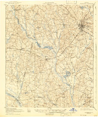
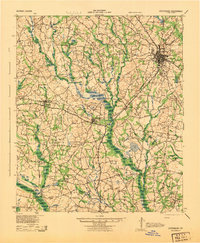
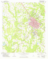
Historical Maps of Statesboro Through Time
9 maps found