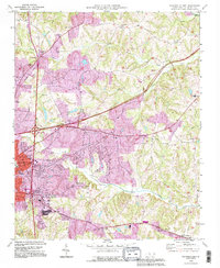
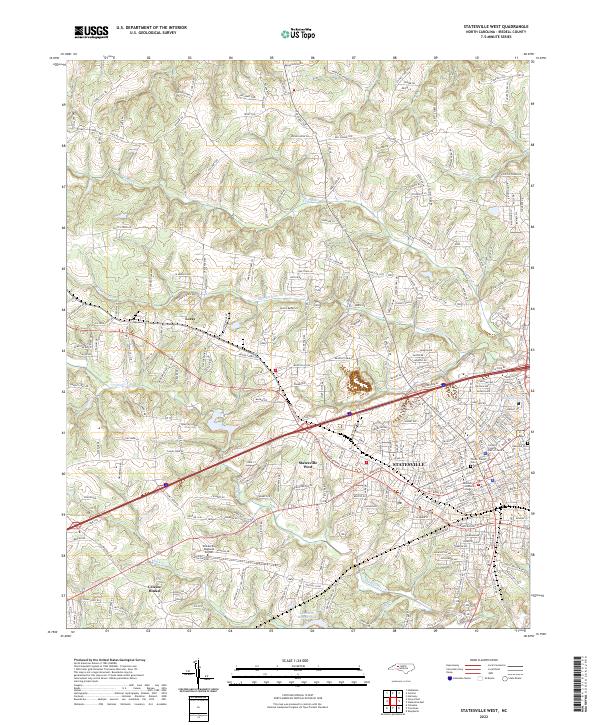
2022 Map of Statesville East
USGS Topo · Published 2022About this map
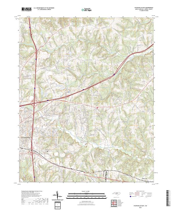
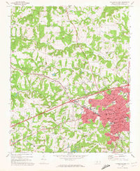
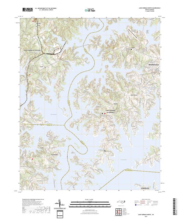
Statesville serves as the focal point for this study of eastern Iredell County, where the transition from dense residential blocks to rolling agricultural land is clearly documented. The map tracks the convergence of local drainage systems, specifically Fifth Creek and Fourth Creek, which define the low-lying topography east of the city. Notable water features such as Hawthorne Lake and Wilson Brothers Lake Number Two reflect the managed hydrology of the Piedmont.
Find a feature on this map
207 named features on this map. Tap any name to fly to it.
Don’t see what you’re looking for? This feature index may not catch every label — zoom into the map to look around manually.
Map Details
Editions of this 2022 Statesville East Map
This is the sole edition of this map. No revisions or reprints were ever made.
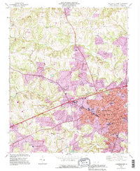
Historical Maps of Ourdell Through Time
17 maps found
1969 Central
Iredell County, NC
1969 Shepherds
Iredell County, NC
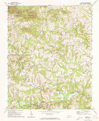
1969 Statesville East
Iredell County, NC
1969 Statesville West
Iredell County, NC
1970 Lake Norman North
Iredell County, NC
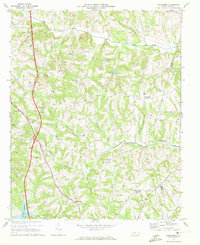
1976 Statesville West
Iredell County, NC
1993 Lake Norman North
Iredell County, NC
1993 Statesville East
Iredell County, NC
1993 Statesville West
Iredell County, NC
1997 Central
Iredell County, NC
2002 Statesville East
Iredell County, NC
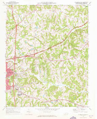
2002 Statesville West
Iredell County, NC
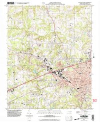
2022 Central
Iredell County, NC
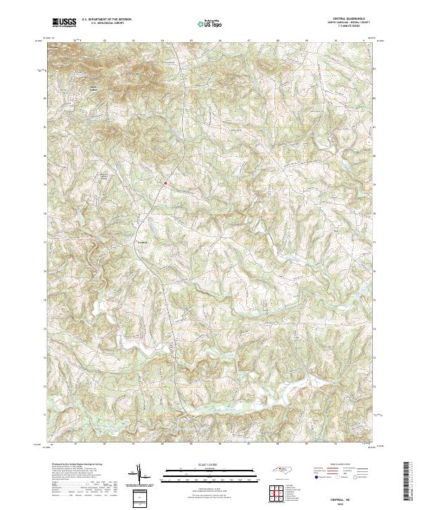
2022 Shepherds
Iredell County, NC
2022 Statesville East
Iredell County, NC
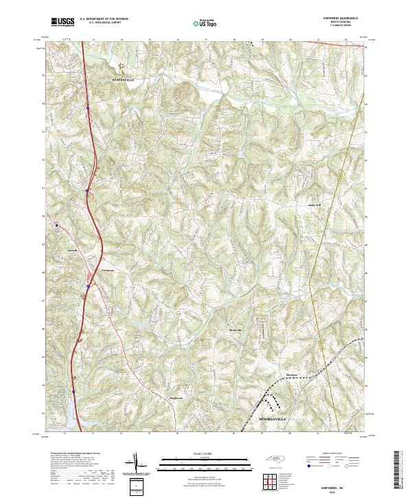
2022 Statesville West
Iredell County, NC
2023 Lake Norman North
Iredell County, NC