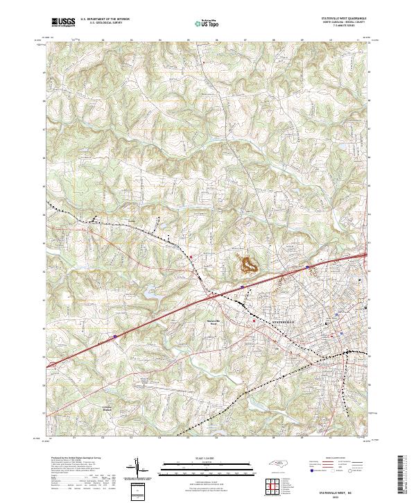
2022 Map of Statesville West
USGS Topo · Published 2022About this map
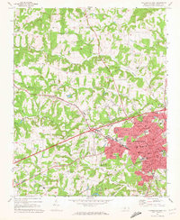
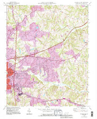
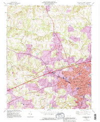
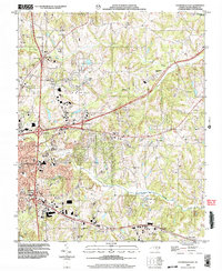
The urban and suburban expansion of Statesville into western Iredell County is captured in this recent survey. The landscape is defined by the convergence of major transit corridors and the branching tributaries of the Yadkin River basin, including Fourth Cr and Third Cr. Within the city core, civic and educational centers such as Mitchell Community College and the Iredell County Hall of Justice anchor the downtown district.
Find a feature on this map
238 named features on this map. Tap any name to fly to it.
Don’t see what you’re looking for? This feature index may not catch every label — zoom into the map to look around manually.
Map Details
Editions of this 2022 Statesville West Map
This is the sole edition of this map. No revisions or reprints were ever made.
Historical Maps of Bostian Heights Through Time
17 maps found
1969 Central
Iredell County, NC
1969 Shepherds
Iredell County, NC
1969 Statesville East
Iredell County, NC
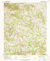
1969 Statesville West
Iredell County, NC
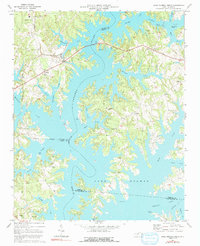
1970 Lake Norman North
Iredell County, NC
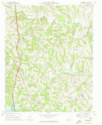
1976 Statesville West
Iredell County, NC
1993 Lake Norman North
Iredell County, NC
1993 Statesville East
Iredell County, NC
1993 Statesville West
Iredell County, NC
1997 Central
Iredell County, NC
2002 Statesville East
Iredell County, NC
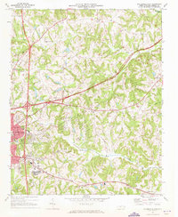
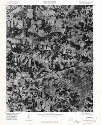
2002 Statesville West
Iredell County, NC
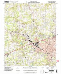
2022 Central
Iredell County, NC
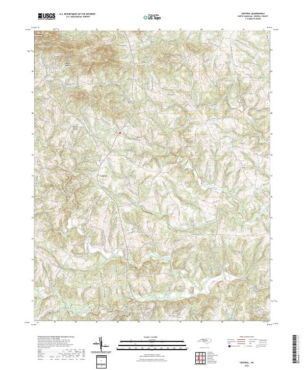
2022 Shepherds
Iredell County, NC
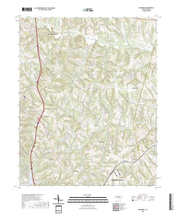
2022 Statesville East
Iredell County, NC
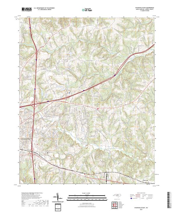
2022 Statesville West
Iredell County, NC
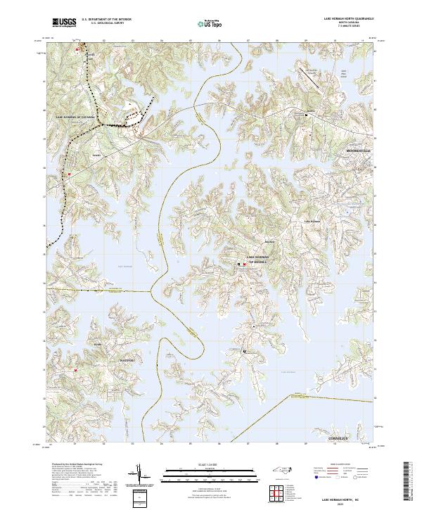
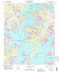
2023 Lake Norman North
Iredell County, NC