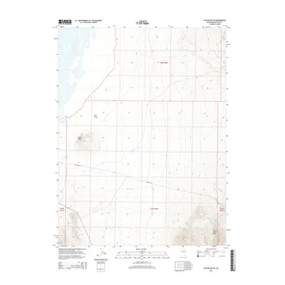
2014 Map of Station Butte
USGS Topo · Published 2014About this map
Station Butte rises as a prominent landmark in this high-desert landscape of White Pine County, situated within the wider Ruby Valley. The map highlights the historic transit corridors of the region, specifically Overland Rd, which cuts across the terrain as a reminder of early western travel routes. Water is a defining scarce resource here, evidenced by the presence of Station Spring and Woodwards Cr, while Y Pond sits to the northwest. To the southeast, the slopes of the Maverick Springs Range begin to climb, framing the eastern edge of the valley. This 2014 survey documents the enduring physical character of the Great Basin, where land boundaries like t26n r58e and t25n r58e manage the open ranching and public lands that characterize this part of Nevada.
Find a feature on this map
11 named features on this map. Tap any name to fly to it.
Don’t see what you’re looking for? This feature index may not catch every label — zoom into the map to look around manually.
Map Details
Editions of this 2014 Station Butte Map
This is the sole edition of this map. No revisions or reprints were ever made.
Other maps of this area

1934 · Jiggs
USGS Topo · 1:125,000

1937 · Jiggs
USGS Topo · 1:125,000

1955 · Elko
USGS Topo · 1:250,000

1956 · Ely
USGS Topo · 1:250,000

1957 · Cold Creek Ranch
USGS Topo · 1:62,500

1958 · Elko
USGS Topo · 1:250,000

1959 · Ely
USGS Topo · 1:250,000

1959 · Sherman Mtn
USGS Topo · 1:62,500

1962 · Elko
USGS Topo · 1:250,000

1963 · Ely
USGS Topo · 1:250,000