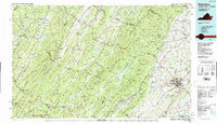
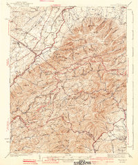
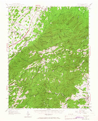
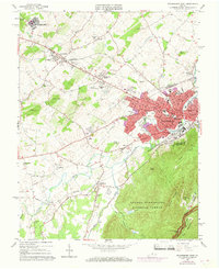
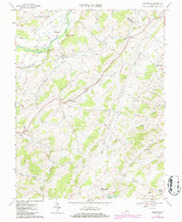
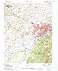
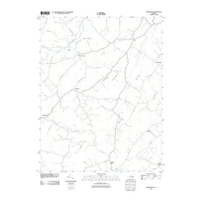
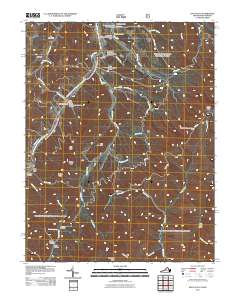
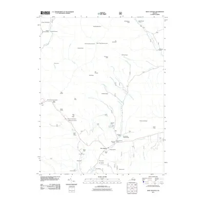
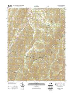
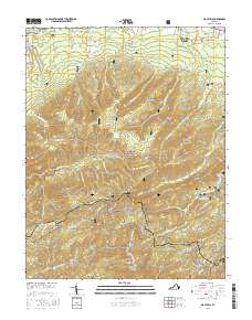
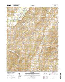
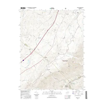
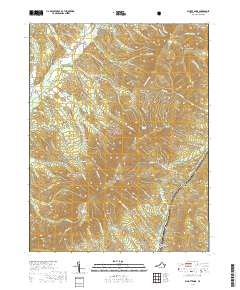
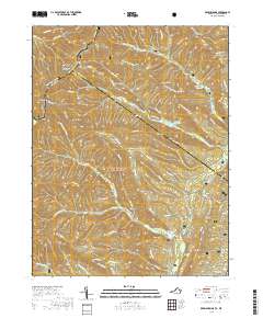
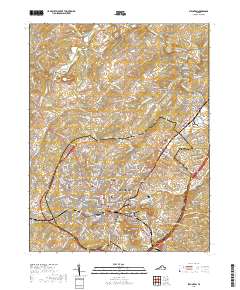
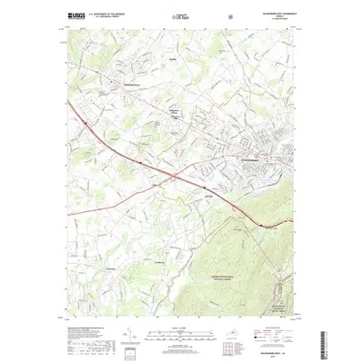
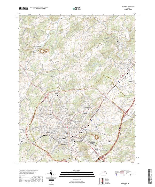
1986 Map of Staunton
USGS Topo · Published 1989About this map
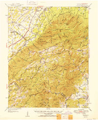
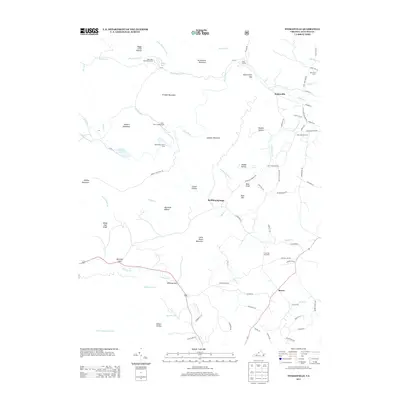
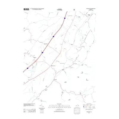
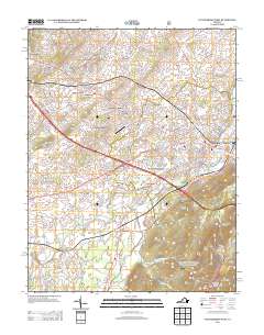
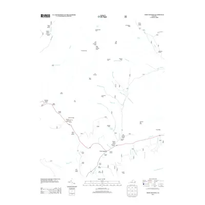
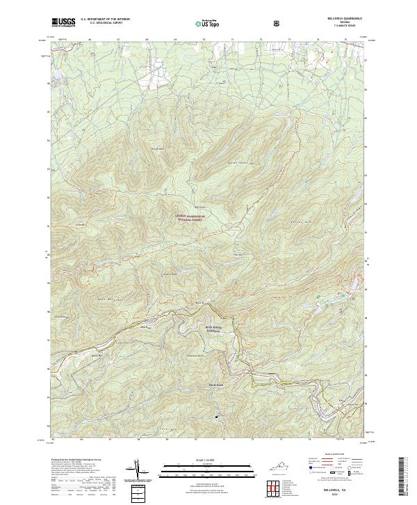
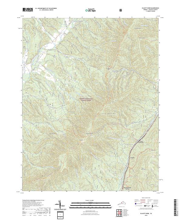
The Allegheny Mountains dominate this 1980s landscape, where the high ridges of Shenandoah Mountain and Jack Mountain create a series of parallel valleys defined by the Cowpasture River and Bullpasture River. This region represents a complex watershed where headwaters like Dry River and Back Creek carve through the George Washington National Forest. The eastern portion of the map centers on the urban concentration of Staunton, a vital rail and transit hub served by the Chesapeake & Ohio RR and Interstate 81.
Find a feature on this map
334 named features on this map. Tap any name to fly to it.
Don’t see what you’re looking for? This feature index may not catch every label — zoom into the map to look around manually.
Map Details
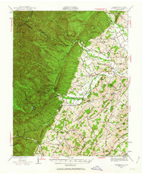
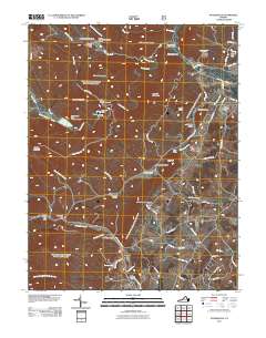
Editions of this 1986 Staunton Map
2 editions found

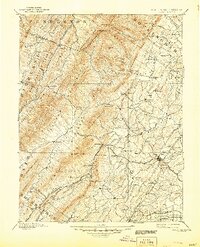
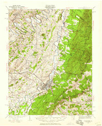
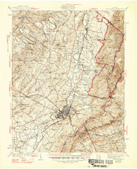
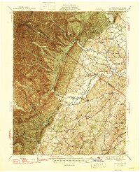
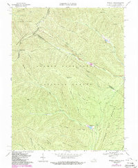
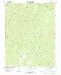
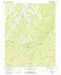
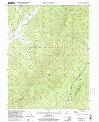
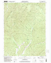
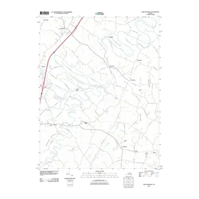
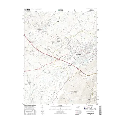
Historical Maps of Staunton Through Time
86 maps found
1894 Staunton
Augusta County, VA
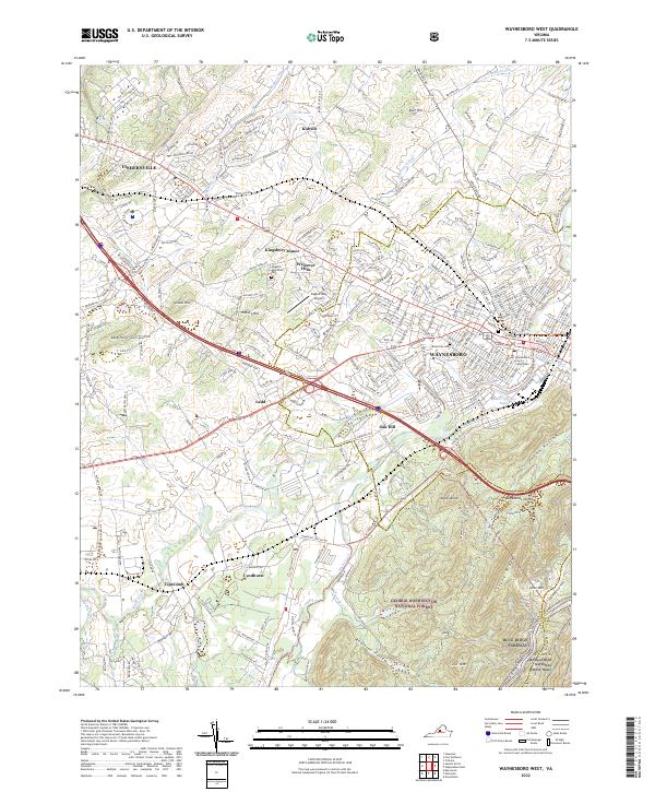
1934 Waynesboro
Augusta County, VA

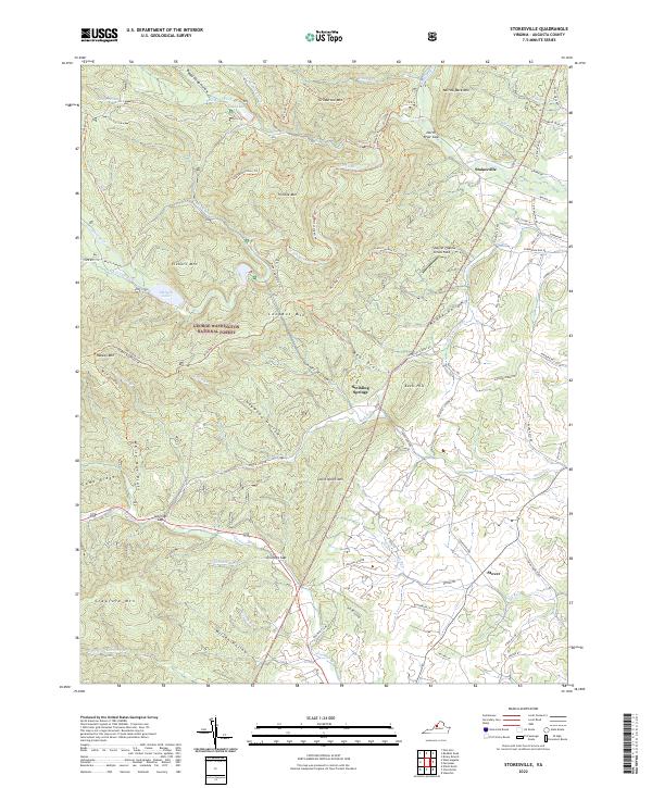
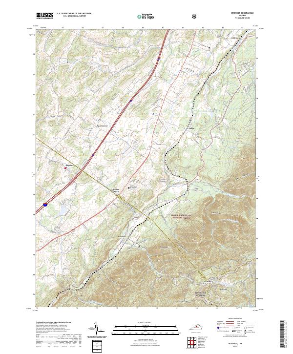
1936 Vesuvius
Augusta County, VA
1939 Waynesboro
Augusta County, VA
1941 Vesuvius
Augusta County, VA
1944 Parnassus
Augusta County, VA
1944 Staunton
Augusta County, VA
1947 Parnassus
Augusta County, VA

1947 Staunton
Augusta County, VA
1950 Vesuvius
Augusta County, VA
1951 Vesuvius
Augusta County, VA
1964 Fort Defiance
Augusta County, VA
1964 Staunton
Augusta County, VA
1964 Waynesboro West
Augusta County, VA
1965 Big Levels
Augusta County, VA
1965 Vesuvius
Augusta County, VA
1967 Elliott Knob
Augusta County, VA
1967 Parnassus
Augusta County, VA
1967 Reddish Knob
Augusta County, VA

1967 Stokesville
Augusta County, VA
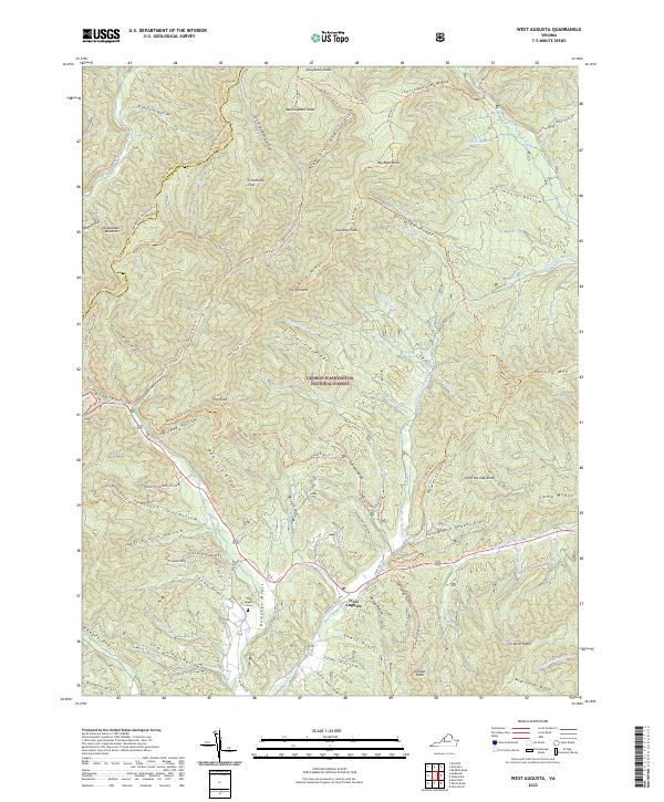
1967 West Augusta
Augusta County, VA
1969 Palo Alto
Augusta County, VA
1973 Waynesboro West
Augusta County, VA
1986 Staunton
Augusta County, VA

1998 Staunton
Augusta County, VA

1999 Big Levels
Augusta County, VA
1999 Elliott Knob
Augusta County, VA

1999 Palo Alto
Augusta County, VA

1999 Reddish Knob
Augusta County, VA

1999 Stokesville
Augusta County, VA
1999 West Augusta
Augusta County, VA
2010 Fort Defiance
Augusta County, VA
2010 Parnassus
Augusta County, VA
2010 Staunton
Augusta County, VA
2011 Big Levels
Augusta County, VA
2011 Elliott Knob
Augusta County, VA
2011 Palo Alto
Augusta County, VA

2011 Reddish Knob
Augusta County, VA
2011 Stokesville
Augusta County, VA
2011 Vesuvius
Augusta County, VA
2011 Waynesboro West
Augusta County, VA
2011 West Augusta
Augusta County, VA
2013 Big Levels
Augusta County, VA
2013 Elliott Knob
Augusta County, VA
2013 Fort Defiance
Augusta County, VA
2013 Palo Alto
Augusta County, VA
2013 Parnassus
Augusta County, VA
2013 Reddish Knob
Augusta County, VA
2013 Staunton
Augusta County, VA
2013 Stokesville
Augusta County, VA
2013 Vesuvius
Augusta County, VA
2013 Waynesboro West
Augusta County, VA
2013 West Augusta
Augusta County, VA
2016 Big Levels
Augusta County, VA
2016 Elliott Knob
Augusta County, VA
2016 Fort Defiance
Augusta County, VA
2016 Palo Alto
Augusta County, VA
2016 Parnassus
Augusta County, VA
2016 Reddish Knob
Augusta County, VA
2016 Staunton
Augusta County, VA
2016 Stokesville
Augusta County, VA
2016 Vesuvius
Augusta County, VA
2016 Waynesboro West
Augusta County, VA
2016 West Augusta
Augusta County, VA
2019 Big Levels
Augusta County, VA
2019 Elliott Knob
Augusta County, VA
2019 Fort Defiance
Augusta County, VA
2019 Palo Alto
Augusta County, VA
2019 Parnassus
Augusta County, VA
2019 Reddish Knob
Augusta County, VA
2019 Staunton
Augusta County, VA
2019 Stokesville
Augusta County, VA
2019 Vesuvius
Augusta County, VA
2019 Waynesboro West
Augusta County, VA
2019 West Augusta
Augusta County, VA
2022 Big Levels
Augusta County, VA
2022 Elliott Knob
Augusta County, VA
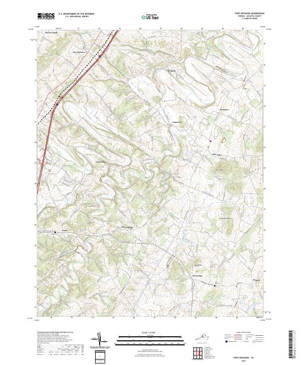
2022 Fort Defiance
Augusta County, VA
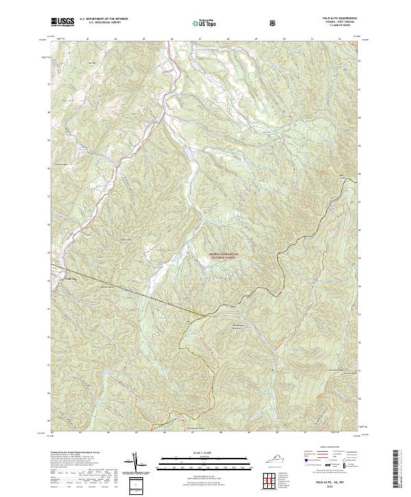
2022 Palo Alto
Augusta County, VA
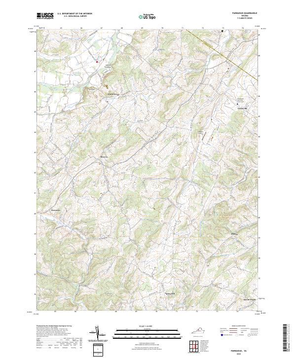
2022 Parnassus
Augusta County, VA
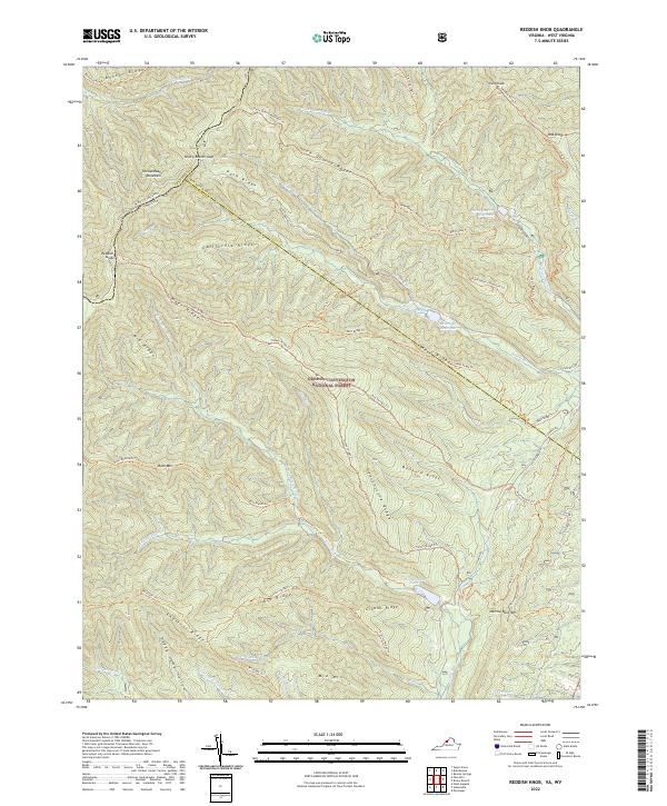
2022 Reddish Knob
Augusta County, VA
2022 Staunton
Augusta County, VA
2022 Stokesville
Augusta County, VA
2022 Vesuvius
Augusta County, VA
2022 Waynesboro West
Augusta County, VA
2022 West Augusta
Augusta County, VA