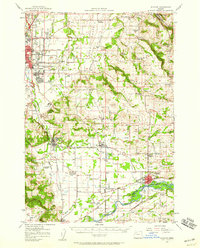
1957 Map of Stayton
USGS Topo · Published 1959About this map
The North Santiam River flows along the southern edge of this Marion County landscape, anchoring a region defined by agricultural valleys and the prominent Waldo Hills. In the late 1950s, the eastern outskirts of Salem show a mix of institutional and rural character, featuring the State Hospital Farm, the State Penitentiary Annex, and the Chemewa Indian Sch. The rail-based economy of the mid-century is evident in the path of the Southern Pacific railroad, which links several small agricultural shipping points like Pratum, Geer, and Aumsville. Numerous rural schools, including Central Howell Sch and Evergreen School, are scattered across the terrain, reflecting the distributed nature of the local farming communities before late-twentieth-century consolidation. The map also captures significant local landmarks such as Parrish Gap and several family and community burial grounds like Mt Hope Cemetery.
Find a feature on this map
68 named features on this map. Tap any name to fly to it.
Don’t see what you’re looking for? This feature index may not catch every label — zoom into the map to look around manually.
Map Details
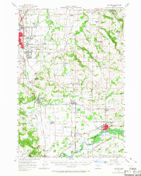
Editions of this 1957 Stayton Map
2 editions found
Other maps of this area

1912 · Jefferson
USGS Topo · 1:31,680

1915 · Eola
USGS Topo · 1:31,680

1915 · Sidney
USGS Topo · 1:31,680

1916 · Albany
USGS Topo · 1:62,500

1917 · Salem
USGS Topo · 1:62,500

1921 · Lebanon
USGS Topo · 1:62,500

1922 · Lebanon
USGS Topo · 1:48,000

1923 · Mount Angel
USGS Topo · 1:62,500

1924 · Lebanon
USGS Topo · 1:62,500

1924 · Mc Minnville
USGS Topo · 1:48,000