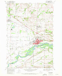
1969 Map of Stayton
USGS Topo · Published 1971About this map
Stayton and the surrounding agricultural valleys of the North Santiam River are captured during a period of steady growth in the late 1960s. The map illustrates a complex network of water management, including the Salem Ditch, Stayton Canal, and infrastructure like the Lower Bennett Dam and Aumsville Dam. These waterways, alongside the Southern Pacific railroad, once defined the industrial and agricultural rhythm of the region.
Find a feature on this map
54 named features on this map. Tap any name to fly to it.
Don’t see what you’re looking for? This feature index may not catch every label — zoom into the map to look around manually.
Map Details
Editions of this 1969 Stayton Map
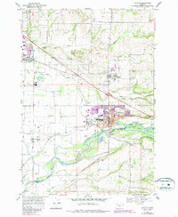
2 editions found
Other maps of this area

1921 · Lebanon
USGS Topo · 1:62,500

1922 · Lebanon
USGS Topo · 1:48,000

1924 · Lebanon
USGS Topo · 1:62,500

1925 · Stayton
USGS Topo · 1:62,500

1940 · Lebanon
USGS Topo · 1:62,500

1941 · Stayton
USGS Topo · 1:62,500

1944 · Lebanon
USGS Topo · 1:62,500

1951 · Lyons
USGS Topo · 1:62,500

1951 · Snow Peak
USGS Topo · 1:62,500

1953 · Salem
USGS Topo · 1:250,000