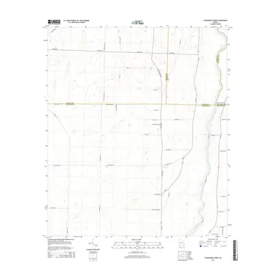
2014 Map of Steadhams Store
USGS Topo · Published 2014About this map
The Flint River defines the eastern edge of this Southwest Georgia landscape, winding through a border region where Decatur, Miller, Baker, and Mitchell counties meet. In this 2014 snapshot, the area is characterized by a sparse, rural grid of agricultural roads and long-standing landmarks like Steadhams Store. The local geography is heavily influenced by private landholdings and small-scale aviation, evidenced by the presence of Brock Airpark near the riverbank.
Find a feature on this map
39 named features on this map. Tap any name to fly to it.
Don’t see what you’re looking for? This feature index may not catch every label — zoom into the map to look around manually.
Map Details
Editions of this 2014 Steadhams Store Map
This is the sole edition of this map. No revisions or reprints were ever made.
Other maps of this area

1953 · Dothan
USGS Topo · 1:250,000

1954 · Dothan
USGS Topo · 1:250,000

1954 · Tallahassee
USGS Topo · 1:250,000

1955 · Dothan
USGS Topo · 1:250,000

1955 · Bainbridge
USGS Topo · 1:62,500

1955 · Whigham
USGS Topo · 1:62,500

1959 · Tallahassee
USGS Topo · 1:250,000

1960 · Tallahassee
USGS Topo · 1:250,000

1971 · Vada
USGS Topo · 1:24,000

1971 · Hopeful
USGS Topo · 1:24,000