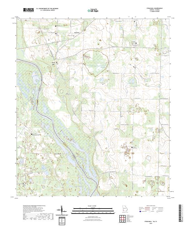
2024 Map of Steam Mill
USGS Topo · Published 2024About this map
The Chattahoochee River carves the landscape along the Georgia-Florida border, where the lower reaches of Lake Seminole meet the swampy bottomlands of The Flatwoods. This modern survey reveals a rural landscape deeply rooted in family history and faith, evidenced by the high concentration of small burial grounds like Allen Cem, Dickenson Cem, and Brunson Cem. The settlement of Steam Mill and the area near Riverturn reflect the historic timber and milling heritage of the Tri-State area. The complex hydrography of the region is well-defined, featuring the winding Fishpond Drain and the freshwater recharge of Hammock Springs. Significant landmarks including Trinity United Methodist Church Cem and the Macedonia Missionary Baptist Church anchor the local communities, while Hebrew Hwy serves as a primary transit corridor through the pine-dotted terrain of The Hammocks.
Find a feature on this map
71 named features on this map. Tap any name to fly to it.
Don’t see what you’re looking for? This feature index may not catch every label — zoom into the map to look around manually.
Map Details
Editions of this 2024 Steam Mill Map
This is the sole edition of this map. No revisions or reprints were ever made.
Historical Maps of Florida Through Time
15 maps found
1954 Desser
Seminole County, GA
1954 Steam Mill
Seminole County, GA
1955 Reynoldsville
Seminole County, GA
1974 Donalsonville East
Seminole County, GA
1974 Donalsonville West
Seminole County, GA
1982 Fairchild
Seminole County, GA
1982 Steam Mill
Seminole County, GA
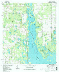
1994 Fairchild
Seminole County, GA
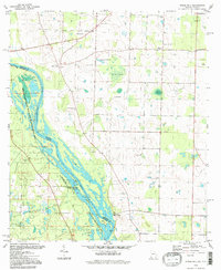
1994 Steam Mill
Seminole County, GA
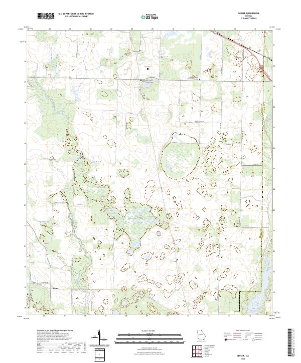
2024 Desser
Seminole County, GA
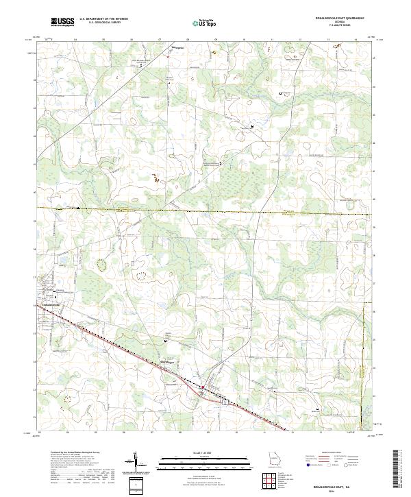
2024 Donalsonville East
Seminole County, GA
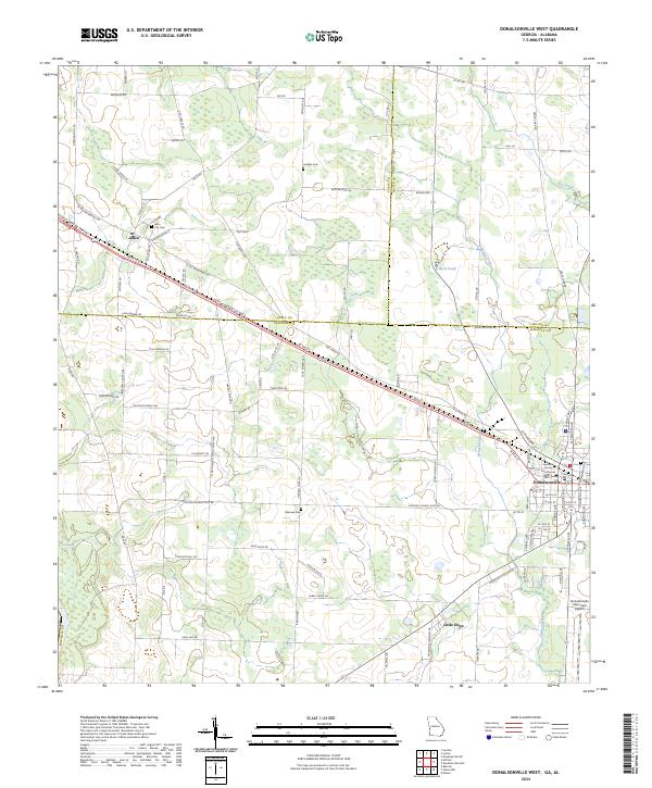
2024 Donalsonville West
Seminole County, GA
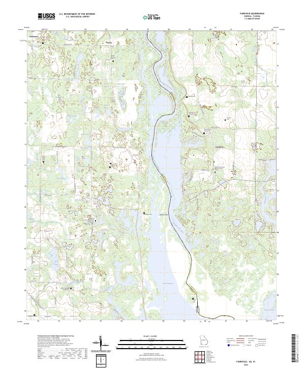
2024 Fairchild
Seminole County, GA
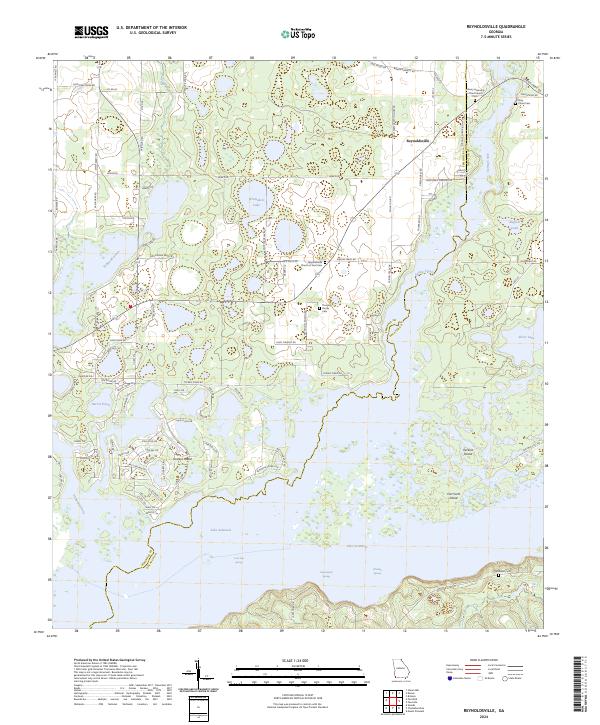
2024 Reynoldsville
Seminole County, GA
2024 Steam Mill
Seminole County, GA