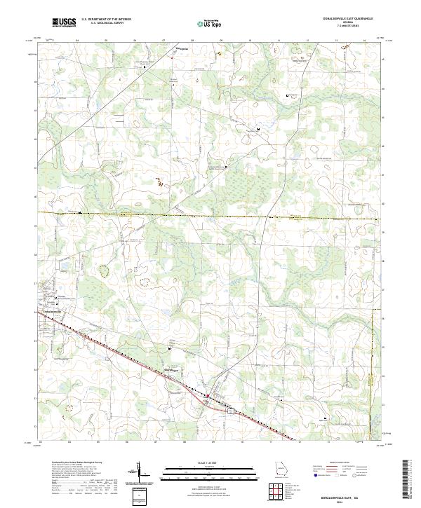
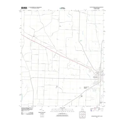
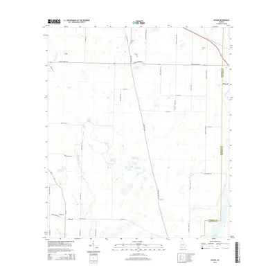
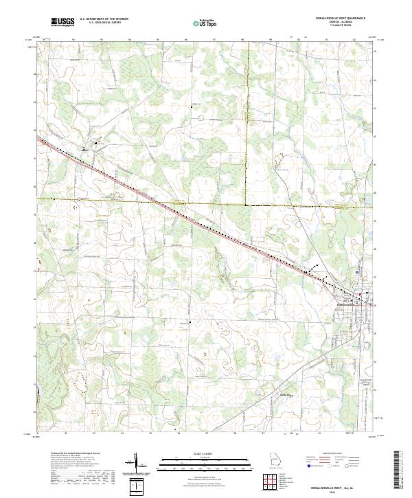
2024 Map of Donalsonville East
USGS Topo · Published 2024About this map
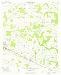
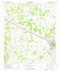
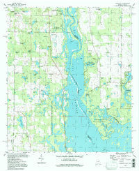
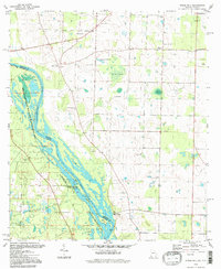
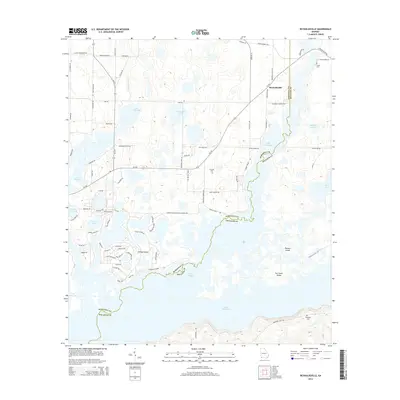
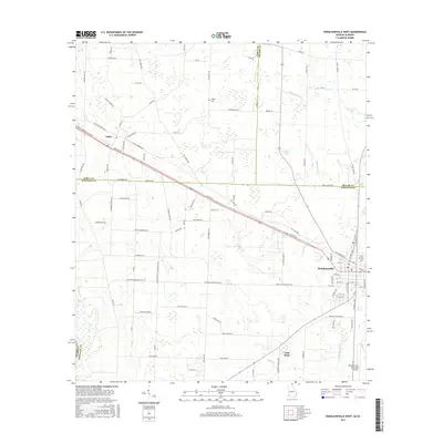
Donalsonville serves as the primary hub in this southwest Georgia landscape, which is marked by the convergence of Seminole, Miller, and Decatur counties. The area is defined by a dense network of local roads such as Three Notch Rd and Bush Dairy Rd, reflecting a deeply rooted agricultural and rural community. The concentration of spiritual and commemorative sites, including Union Missionary Baptist Church and Friendship Cem, speaks to the long-standing genealogical significance of the region's family settlements. Along the southern corridor, the settlements of Sharphagen and Iron City follow the transport lines that parallel Ash Crossing Rd. The natural drainage of the land is shaped by Aycocks Creek and Dry Creek, which wind through the low-lying terrain near the Miller Co Seminole Co line, providing the essential water sources for the region's historic farms and timberlands.
Find a feature on this map
97 named features on this map. Tap any name to fly to it.
Don’t see what you’re looking for? This feature index may not catch every label — zoom into the map to look around manually.
Map Details
Editions of this 2024 Donalsonville East Map
This is the sole edition of this map. No revisions or reprints were ever made.
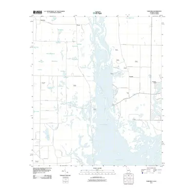
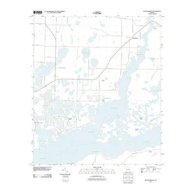
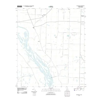
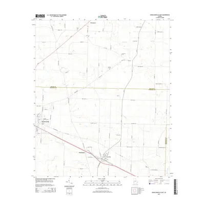
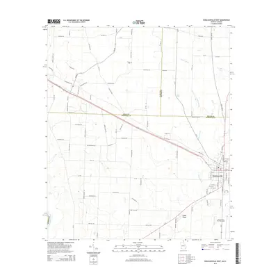
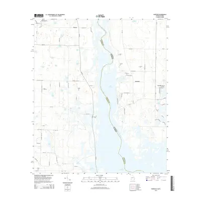
Historical Maps of Donalsonville Through Time
39 maps found
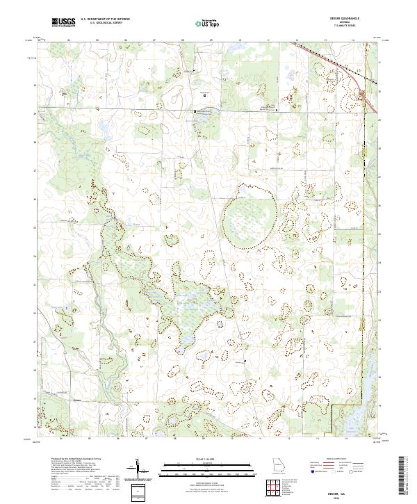
1954 Desser
Seminole County, GA
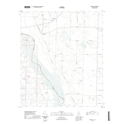
1954 Steam Mill
Seminole County, GA
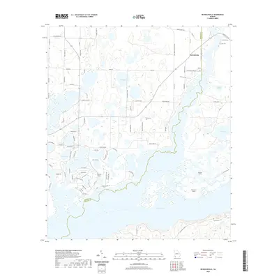
1955 Reynoldsville
Seminole County, GA
1974 Donalsonville East
Seminole County, GA
1974 Donalsonville West
Seminole County, GA
1982 Fairchild
Seminole County, GA
1982 Steam Mill
Seminole County, GA
1994 Fairchild
Seminole County, GA
1994 Steam Mill
Seminole County, GA
2011 Desser
Seminole County, GA
2011 Donalsonville East
Seminole County, GA
2011 Donalsonville West
Seminole County, GA
2011 Fairchild
Seminole County, GA
2011 Reynoldsville
Seminole County, GA
2011 Steam Mill
Seminole County, GA
2014 Desser
Seminole County, GA
2014 Donalsonville East
Seminole County, GA
2014 Donalsonville West
Seminole County, GA
2014 Fairchild
Seminole County, GA
2014 Reynoldsville
Seminole County, GA
2014 Steam Mill
Seminole County, GA
2017 Desser
Seminole County, GA
2017 Donalsonville East
Seminole County, GA
2017 Donalsonville West
Seminole County, GA
2017 Fairchild
Seminole County, GA
2017 Reynoldsville
Seminole County, GA
2017 Steam Mill
Seminole County, GA
2020 Desser
Seminole County, GA
2020 Donalsonville East
Seminole County, GA
2020 Donalsonville West
Seminole County, GA
2020 Fairchild
Seminole County, GA
2020 Reynoldsville
Seminole County, GA
2020 Steam Mill
Seminole County, GA
2024 Desser
Seminole County, GA
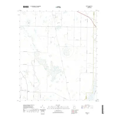
2024 Donalsonville East
Seminole County, GA
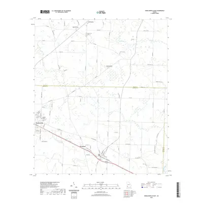
2024 Donalsonville West
Seminole County, GA
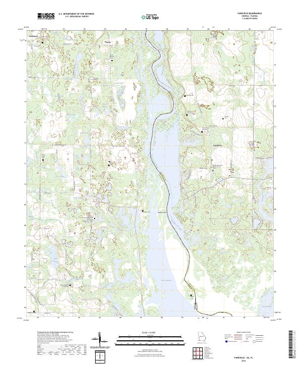
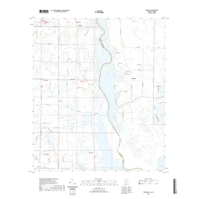
2024 Fairchild
Seminole County, GA
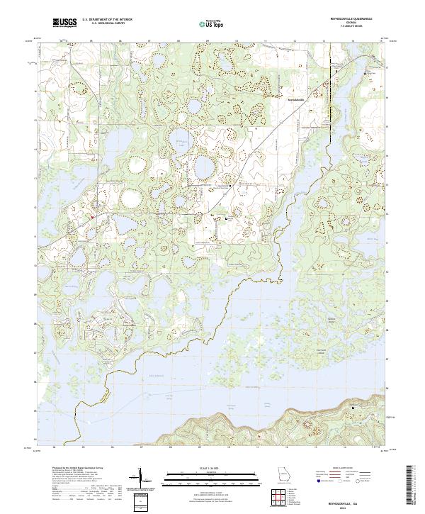
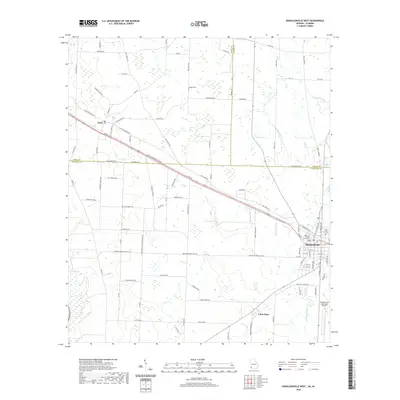
2024 Reynoldsville
Seminole County, GA
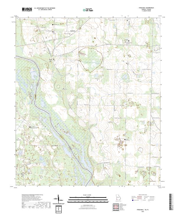
2024 Steam Mill
Seminole County, GA