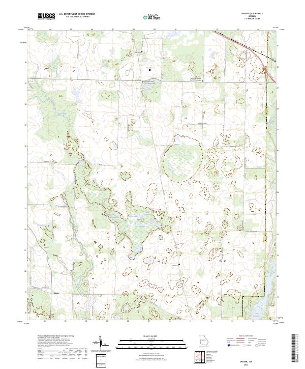
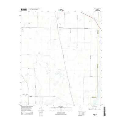
2024 Map of Desser
USGS Topo · Published 2024About this map
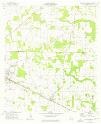
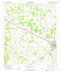
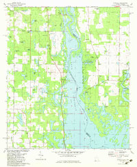
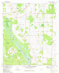
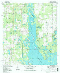
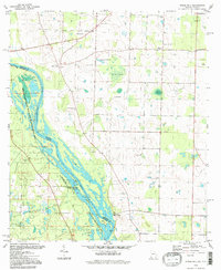
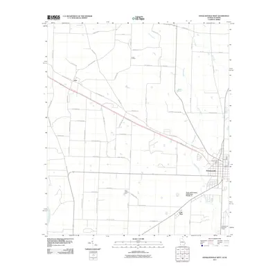
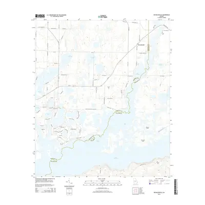
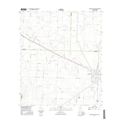
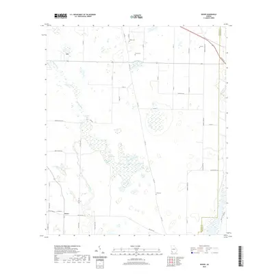
Fishpond Drain meanders through this portion of Seminole County, feeding a dense network of water bodies such as Goose Lake and Wash Pond before the landscape gives way to the expansive Lake Seminole in the south. The area is defined by its agricultural and cemetery history, with numerous family and church burial grounds including Williams Cem, Trawick Cem, and the Ash Cem scattered across the rural landscape.
Find a feature on this map
60 named features on this map. Tap any name to fly to it.
Don’t see what you’re looking for? This feature index may not catch every label — zoom into the map to look around manually.
Map Details
Editions of this 2024 Desser Map
This is the sole edition of this map. No revisions or reprints were ever made.
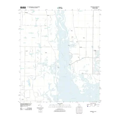
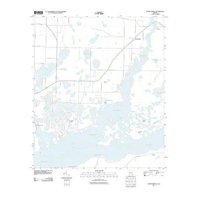
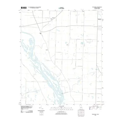
Historical Maps of Brinson Through Time
39 maps found
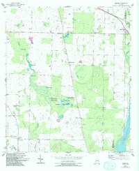
1954 Desser
Seminole County, GA
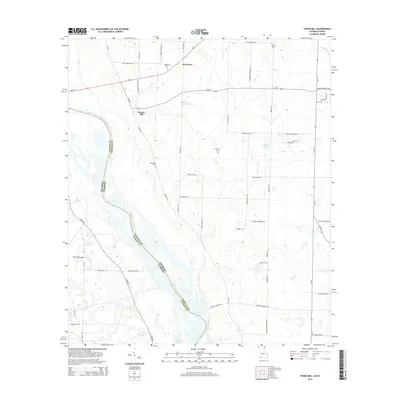
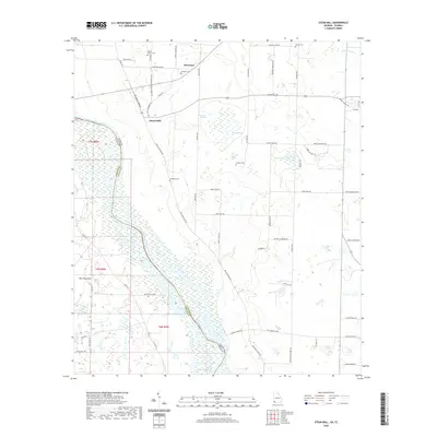
1954 Steam Mill
Seminole County, GA
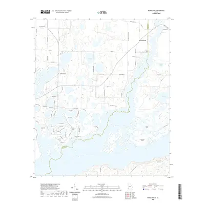
1955 Reynoldsville
Seminole County, GA
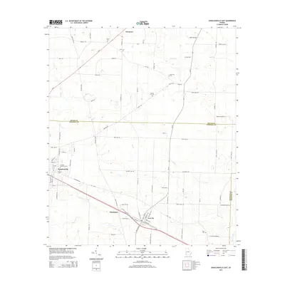
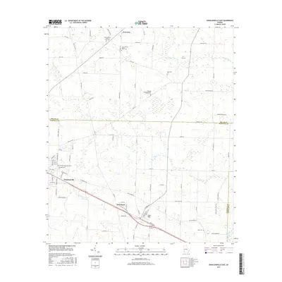
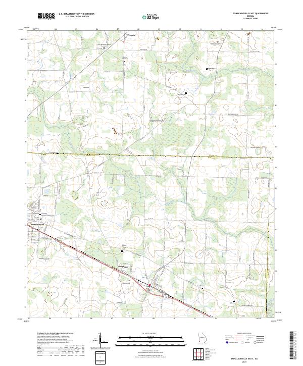
1974 Donalsonville East
Seminole County, GA
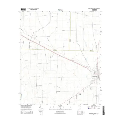
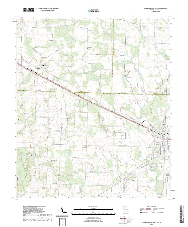
1974 Donalsonville West
Seminole County, GA
1982 Fairchild
Seminole County, GA
1982 Steam Mill
Seminole County, GA
1994 Fairchild
Seminole County, GA
1994 Steam Mill
Seminole County, GA
2011 Desser
Seminole County, GA
2011 Donalsonville East
Seminole County, GA
2011 Donalsonville West
Seminole County, GA
2011 Fairchild
Seminole County, GA
2011 Reynoldsville
Seminole County, GA
2011 Steam Mill
Seminole County, GA
2014 Desser
Seminole County, GA
2014 Donalsonville East
Seminole County, GA
2014 Donalsonville West
Seminole County, GA
2014 Fairchild
Seminole County, GA
2014 Reynoldsville
Seminole County, GA
2014 Steam Mill
Seminole County, GA
2017 Desser
Seminole County, GA
2017 Donalsonville East
Seminole County, GA
2017 Donalsonville West
Seminole County, GA
2017 Fairchild
Seminole County, GA
2017 Reynoldsville
Seminole County, GA
2017 Steam Mill
Seminole County, GA
2020 Desser
Seminole County, GA
2020 Donalsonville East
Seminole County, GA
2020 Donalsonville West
Seminole County, GA
2020 Fairchild
Seminole County, GA
2020 Reynoldsville
Seminole County, GA
2020 Steam Mill
Seminole County, GA
2024 Desser
Seminole County, GA
2024 Donalsonville East
Seminole County, GA
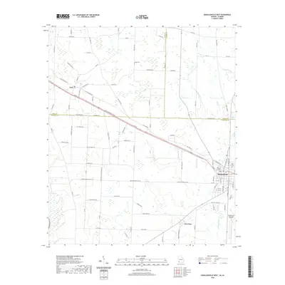
2024 Donalsonville West
Seminole County, GA
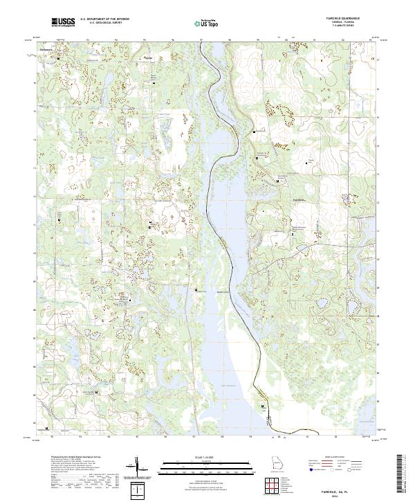
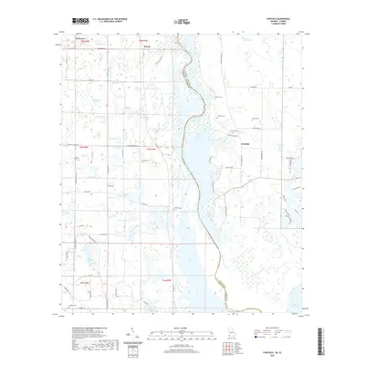
2024 Fairchild
Seminole County, GA
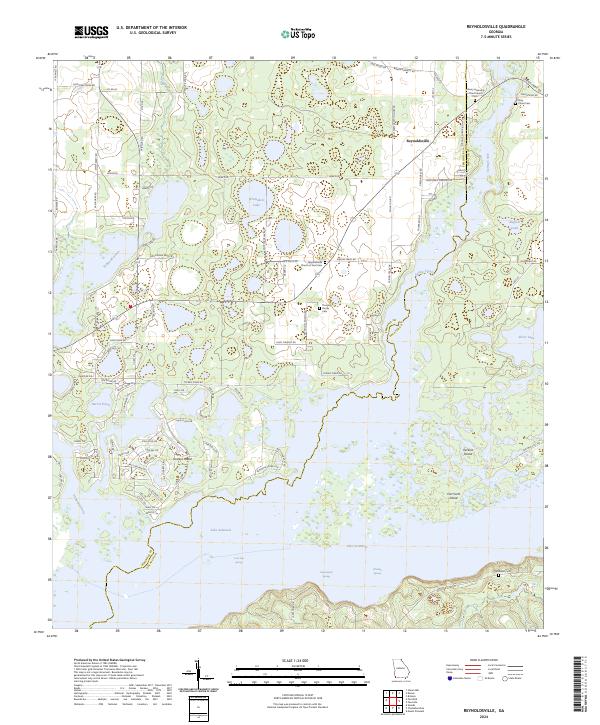
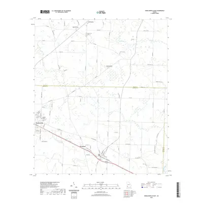
2024 Reynoldsville
Seminole County, GA
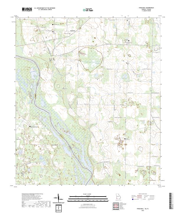
2024 Steam Mill
Seminole County, GA