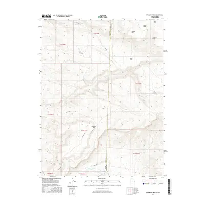
2017 Map of Steamboat Mesa
USGS Topo · Published 2017About this map
Steamboat Mesa and the surrounding Steamboat Area dominate this high-desert landscape where the border between Grand County, Utah, and Mesa County, Colorado, follows the ridgeline of the Uncompahgre Plateau. The geography is defined by deep incisions in the plateau, such as Buckhorn Draw and Ryans Gulch, which channel seasonal water toward larger drainages. In the south, the Dolores River cuts through the canyon floor, marked by the turbulent Stateline Rapids just as it crosses the state boundary.
Find a feature on this map
26 named features on this map. Tap any name to fly to it.
Don’t see what you’re looking for? This feature index may not catch every label — zoom into the map to look around manually.
Map Details
Editions of this 2017 Steamboat Mesa Map
This is the sole edition of this map. No revisions or reprints were ever made.
Other maps of this area

1885 · La Sal
USGS Topo · 1:250,000

1949 · Gateway
USGS Topo · 1:24,000

1952 · Gateway
USGS Topo · 1:24,000

1954 · Mt. Waas 4 NE
USGS Topo · 1:24,000

1954 · Mt. Waas 4 NW
USGS Topo · 1:24,000

1954 · Mt. Waas 1 SW
USGS Topo · 1:24,000

1954 · Mt. Waas 1 NE
USGS Topo · 1:24,000

1954 · Mt. Waas 1 NW
USGS Topo · 1:24,000

1954 · Mt. Waas 1 SE
USGS Topo · 1:24,000

1954 · Coates Creek
USGS Topo · 1:62,500