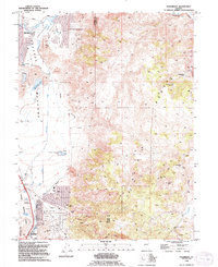
1994 Map of Steamboat
USGS Topo · Published 1994About this map
Reno extends its reach into the southern Meadows in this mid-1990s revision, where urban expansion meets the rising slopes of the Virginia Range. The landscape is a study in geothermal energy and early Nevada mining heritage, featuring the Powerplant (Geothermal) near Steamboat Springs (Hot) and the Steamboat Gaging Station. High in the eastern hills, the remnants of the silver era are visible at Washington (Site) and Lousetown (Site), while the Castle Peak Mine sits beneath its namesake summit. Industrial and recreational footprints are evident throughout, from the Rosewood Lakes Golf Course and Hidden Valley to numerous active operations like the Sand and Gravel Pit and Claypit, marking the boundary between Washoe and Storey counties.
Find a feature on this map
47 named features on this map. Tap any name to fly to it.
Don’t see what you’re looking for? This feature index may not catch every label — zoom into the map to look around manually.
Map Details
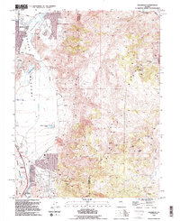
Editions of this 1994 Steamboat Map
2 editions found
Other maps of this area

1891 · Carson
USGS Topo · 1:125,000

1891 · Reno
USGS Topo · 1:125,000

1893 · Carson
USGS Topo · 1:125,000

1893 · Reno
USGS Topo · 1:125,000

1950 · Virginia City
USGS Topo · 1:62,500

1950 · Mt. Rose
USGS Topo · 1:62,500

1950 · Reno
USGS Topo · 1:62,500

1951 · Reno
USGS Topo · 1:62,500

1952 · Mt. Rose
USGS Topo · 1:62,500

1952 · Virginia City
USGS Topo · 1:62,500