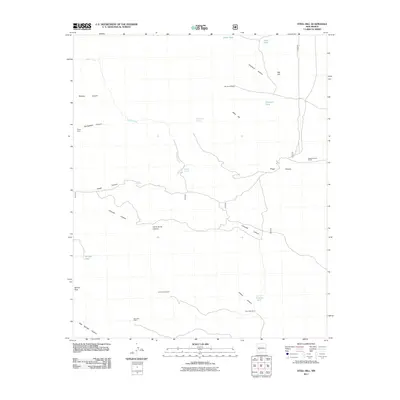
2011 Map of Steel Hill
USGS Topo · Published 2011About this map
San Jose Cabin and the Panky Mine are tucked within a landscape of deeply etched drainages and canyons in Socorro County. This 2011 survey illustrates the essential role of water management in the arid New Mexico climate, with a network of infrastructure including the Rincon Windmill, La Cabra Windmill, and several catchment features like Humpfer Tank and Cedar Tank. The terrain is defined by prominent elevations such as Steel Hill and Cerra de las Cabras, which overlook narrow corridors like Springtime Canyon and Nogal Canyon. Natural water sources, including Nogalita Spring and Rabbit Eye Spring, appear as critical landmarks for both the Nogal Canyon Ranch and the surrounding wilderness areas of Spruce Park.
Find a feature on this map
25 named features on this map. Tap any name to fly to it.
Don’t see what you’re looking for? This feature index may not catch every label — zoom into the map to look around manually.
Map Details
Editions of this 2011 Steel Hill Map
This is the sole edition of this map. No revisions or reprints were ever made.
Other maps of this area

1954 · Tularosa
USGS Topo · 1:250,000

1958 · Tularosa
USGS Topo · 1:250,000

1961 · Sierra Fijardo
USGS Topo · 1:24,000

1961 · Hickman Ranch
USGS Topo · 1:24,000

1961 · Black Hill
USGS Topo · 1:24,000

1961 · Monticello
USGS Topo · 1:24,000

1961 · Romero Canyon
USGS Topo · 1:24,000

1964 · Vicks Peak
USGS Topo · 1:24,000

1964 · San Juan Peak
USGS Topo · 1:24,000

1964 · Blue Mountain
USGS Topo · 1:24,000