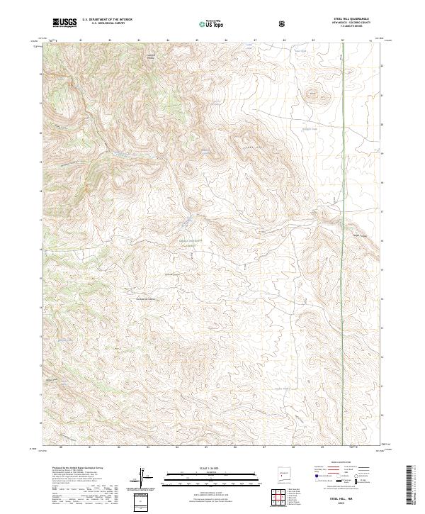
2023 Map of Steel Hill
USGS Topo · Published 2023About this map
Apache Kid Wilderness and Cibola National Forest define this high-altitude landscape in Socorro County, where the terrain is dominated by the namesake Steel Hill. The map documents a critical network of water sources essential for survival and livestock in this arid environment, ranging from Rabbit Eye Spring and Pine Tree Spring to man-made catchments like Steel Tank and Cuervo Tank. Movement through the backcountry is primarily facilitated by the Indian Creek Trl, which follows the drainage of Indian Creek. The geography is deeply carved by numerous canyons, including Springtime Canyon, Chaunte Canyon, and Nogal Canyon. These features, alongside landmarks such as Cerra de las Cabras and the elevated Bell Hill, illustrate a landscape managed for both federal conservation and local ranching interests.
Find a feature on this map
28 named features on this map. Tap any name to fly to it.
Don’t see what you’re looking for? This feature index may not catch every label — zoom into the map to look around manually.
Map Details
Editions of this 2023 Steel Hill Map
This is the sole edition of this map. No revisions or reprints were ever made.
Other maps of this area

1954 · Tularosa
USGS Topo · 1:250,000

1958 · Tularosa
USGS Topo · 1:250,000

1961 · Sierra Fijardo
USGS Topo · 1:24,000

1961 · Hickman Ranch
USGS Topo · 1:24,000

1961 · Black Hill
USGS Topo · 1:24,000

1961 · Monticello
USGS Topo · 1:24,000

1961 · Romero Canyon
USGS Topo · 1:24,000

1964 · Vicks Peak
USGS Topo · 1:24,000

1964 · San Juan Peak
USGS Topo · 1:24,000

1964 · Blue Mountain
USGS Topo · 1:24,000