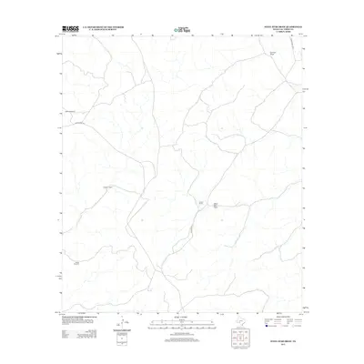
2012 Map of Steel Star Draw
USGS Topo · Published 2012About this map
Oberkampf Ranch and Nettleton Ranch anchor this West Texas landscape, illustrating the enduring cattle and sheep ranching traditions of Val Verde County. The terrain is defined by dry washes and drainage patterns typical of the Edwards Plateau, most notably the namesake Steel Star Draw and Samson Draw in the northeastern corner. Infrastructure is sparse, characterized by long stretches of Ranch Road 1024 and Juno Rd W that connect isolated homesteads like Carson Ranch. The inclusion of the Divide Windmill highlights the vital role of groundwater management in this arid environment, where such markers are essential landmarks for navigation and agricultural survival.
Find a feature on this map
9 named features on this map. Tap any name to fly to it.
Don’t see what you’re looking for? This feature index may not catch every label — zoom into the map to look around manually.
Map Details
Editions of this 2012 Steel Star Draw Map
This is the sole edition of this map. No revisions or reprints were ever made.
Other maps of this area

1954 · Sonora
USGS Topo · 1:250,000

1958 · Sonora
USGS Topo · 1:250,000

1970 · Everett Canyon
USGS Topo · 1:24,000

1970 · Aermotor Draw
USGS Topo · 1:24,000

1970 · Steel Star Draw
USGS Topo · 1:24,000

1970 · Indian Draw
USGS Topo · 1:24,000

1970 · Sycamore Canyon
USGS Topo · 1:24,000

1970 · Blue Hills
USGS Topo · 1:24,000

1970 · Bee Canyon
USGS Topo · 1:24,000

1970 · Howards Well SW
USGS Topo · 1:24,000