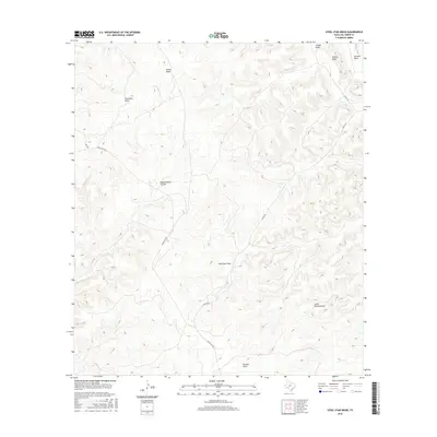
2016 Map of Steel Star Draw
USGS Topo · Published 2016About this map
Steel Star Draw and Oppenheimer Canyon define the high-relief landscape of this part of Val Verde County, where ephemeral watercourses have carved a complex system of drainage basins into the Edwards Plateau. The terrain is characterized by a series of deep cuts including Devils Draw and Flat Rock Draw to the north, which converge and descend toward the south. The human footprint in this semi-arid region is represented by sparse transportation corridors such as Ranch Rd 1024, which snakes through the western portion of the quadrangle. Other arterial routes like Juno Rd W and Juno Rd E suggest a landscape primarily managed for ranching and large-scale land holdings, common in this trans-Pecos transition zone. The map provides a detailed view of the intricate topography near Duncan Draw and Little Duncan Draw, essential features for understanding local hydrology and historical land use patterns in West Texas.
Find a feature on this map
13 named features on this map. Tap any name to fly to it.
Don’t see what you’re looking for? This feature index may not catch every label — zoom into the map to look around manually.
Map Details
Editions of this 2016 Steel Star Draw Map
This is the sole edition of this map. No revisions or reprints were ever made.
Other maps of this area

1954 · Sonora
USGS Topo · 1:250,000

1958 · Sonora
USGS Topo · 1:250,000

1970 · Everett Canyon
USGS Topo · 1:24,000

1970 · Aermotor Draw
USGS Topo · 1:24,000

1970 · Steel Star Draw
USGS Topo · 1:24,000

1970 · Indian Draw
USGS Topo · 1:24,000

1970 · Sycamore Canyon
USGS Topo · 1:24,000

1970 · Blue Hills
USGS Topo · 1:24,000

1970 · Bee Canyon
USGS Topo · 1:24,000

1970 · Howards Well SW
USGS Topo · 1:24,000