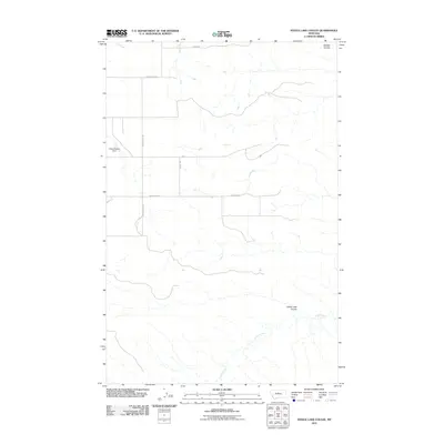
2011 Map of Steele Lake Coulee
USGS Topo · Published 2011About this map
Steele Lake Coulee and Dossett Coulee carve through this Montana landscape, illustrating the drainage patterns of the northern plains. This topographic study by the U.S. Geological Survey captures the rural infrastructure of Fergus County during the early 21st century. The map shows a sparse network of county roads, including Hopkins Hill Rd and Red Barn Rd, which provide access to isolated agricultural properties and livestock operations. Water management is a critical element of this high-plains environment, anchored by features like the Fuddy Duddy Dam and the winding course of Arrow Creek. These improvements reflect the long-standing efforts to harness seasonal runoff in an area where water is the primary driver of settlement and land use. The presence of Range Rd and Bronec Dr further defines the modern rural grid established across this portion of the state.
Find a feature on this map
8 named features on this map. Tap any name to fly to it.
Don’t see what you’re looking for? This feature index may not catch every label — zoom into the map to look around manually.
Map Details
Editions of this 2011 Steele Lake Coulee Map
This is the sole edition of this map. No revisions or reprints were ever made.
Other maps of this area

1890 · Fort Benton
USGS Topo · 1:250,000

1892 · Fort Benton
USGS Topo · 1:250,000

1897 · Fort Benton
USGS Topo · 1:250,000

1953 · Starve Out Flat
USGS Topo · 1:24,000

1953 · Last Chance Bench
USGS Topo · 1:24,000

1954 · Great Falls
USGS Topo · 1:250,000

1954 · Lewistown
USGS Topo · 1:250,000

1957 · Great Falls
USGS Topo · 1:250,000

1959 · Lewistown
USGS Topo · 1:250,000

1964 · Spring Coulee
USGS Topo · 1:24,000