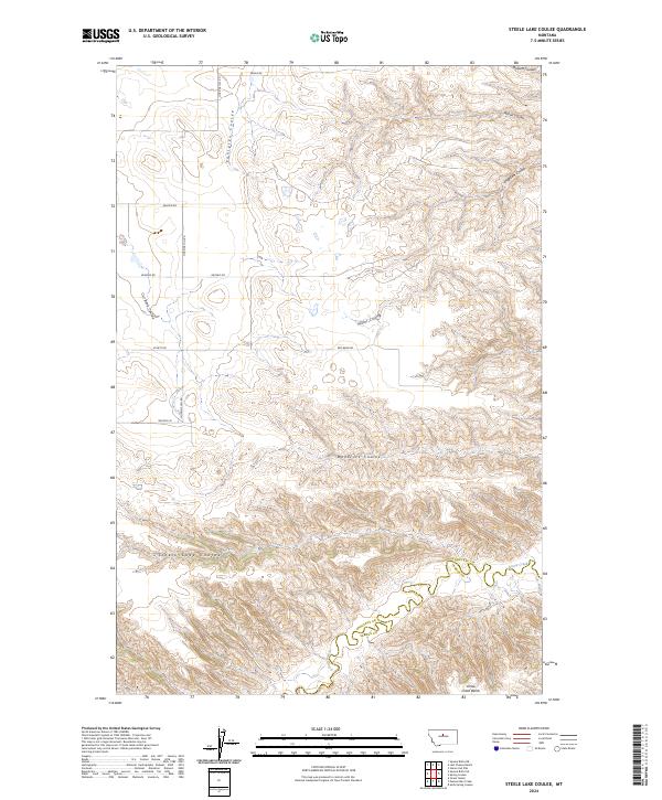
2024 Map of Steele Lake Coulee
USGS Topo · Published 2024About this map
Upper Missouri River Breaks National Monument anchors the northern reaches of this landscape where Chouteau and Fergus counties meet. The terrain is defined by a dense network of coulees, including Miller Coulee, Woodcock Coulee, and Steele Lake Coulee, which carve through the high plains toward the meandering path of Arrow Creek in the south. The drainage patterns here reveal a deeply eroded geography where small seasonal watercourses like Dossett Coulee and Engellant Coulee drop toward the Missouri River system.
Find a feature on this map
24 named features on this map. Tap any name to fly to it.
Don’t see what you’re looking for? This feature index may not catch every label — zoom into the map to look around manually.
Map Details
Editions of this 2024 Steele Lake Coulee Map
This is the sole edition of this map. No revisions or reprints were ever made.
Other maps of this area

1890 · Fort Benton
USGS Topo · 1:250,000

1892 · Fort Benton
USGS Topo · 1:250,000

1897 · Fort Benton
USGS Topo · 1:250,000

1953 · Starve Out Flat
USGS Topo · 1:24,000

1953 · Last Chance Bench
USGS Topo · 1:24,000

1954 · Great Falls
USGS Topo · 1:250,000

1954 · Lewistown
USGS Topo · 1:250,000

1957 · Great Falls
USGS Topo · 1:250,000

1959 · Lewistown
USGS Topo · 1:250,000

1964 · Spring Coulee
USGS Topo · 1:24,000