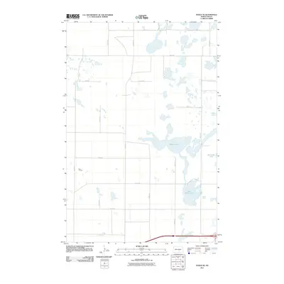
2011 Map of Steele NE
USGS Topo · Published 2011About this map
Allen Cemetery stands as a quiet focal point in this portion of Kidder County, situated among the prairie potholes and terminal moraine landscape of central North Dakota. The area is defined by its numerous water bodies, including the expansive Buffalo Lake and the adjacent Dead Buffalo Lake, which illustrate the complex drainage patterns of the Missouri Coteau. A rigid grid of section roads, such as 31st Ave SE and 34th St SE, carves through the undulating terrain, indicating a landscape heavily organized for agricultural use. To the east, Sibley Lake and Big Muddy Lake further characterize this lacustrine environment, providing essential context for genealogists tracing families in the Dawson and Steele vicinities who lived and worked on these rural sections.
Find a feature on this map
19 named features on this map. Tap any name to fly to it.
Don’t see what you’re looking for? This feature index may not catch every label — zoom into the map to look around manually.
Map Details
Editions of this 2011 Steele NE Map
This is the sole edition of this map. No revisions or reprints were ever made.
Other maps of this area

1952 · Tappen South
USGS Topo · 1:24,000

1952 · Dawson
USGS Topo · 1:24,000

1952 · Tappen North
USGS Topo · 1:24,000

1952 · Steele NE
USGS Topo · 1:24,000

1952 · Steele
USGS Topo · 1:24,000

1952 · Steele NW
USGS Topo · 1:24,000

1952 · New Rockford
USGS Topo · 1:250,000

1953 · Jamestown
USGS Topo · 1:250,000

1956 · New Rockford
USGS Topo · 1:250,000

1956 · Jamestown
USGS Topo · 1:250,000