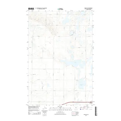
2014 Map of Steele NE
USGS Topo · Published 2014About this map
Dawson sits at the southern edge of this landscape, a small settlement defined by its position along the interstate corridor. The surrounding terrain in Kidder County is a classic prairie pothole region, where the ground is punctuated by numerous bodies of water. Significant features include Buffalo Lake and the nearby Dead Buffalo Lake, alongside Sibley Lake and Big Muddy Lake. These water bodies are central to the geography of the area, separated by a grid of rural roads like 33rd St SE and 30th Ave SE. Family history researchers will find the Allen Cem located in the western portion of the quadrangle, a small but vital landmark in this sparsely populated agricultural district. The map reflects a modern rural environment where the original section lines dictate the movement across the prairie.
Find a feature on this map
24 named features on this map. Tap any name to fly to it.
Don’t see what you’re looking for? This feature index may not catch every label — zoom into the map to look around manually.
Map Details
Editions of this 2014 Steele NE Map
This is the sole edition of this map. No revisions or reprints were ever made.
Other maps of this area

1952 · Tappen South
USGS Topo · 1:24,000

1952 · Dawson
USGS Topo · 1:24,000

1952 · Tappen North
USGS Topo · 1:24,000

1952 · Steele NE
USGS Topo · 1:24,000

1952 · Steele
USGS Topo · 1:24,000

1952 · Steele NW
USGS Topo · 1:24,000

1952 · New Rockford
USGS Topo · 1:250,000

1953 · Jamestown
USGS Topo · 1:250,000

1956 · New Rockford
USGS Topo · 1:250,000

1956 · Jamestown
USGS Topo · 1:250,000