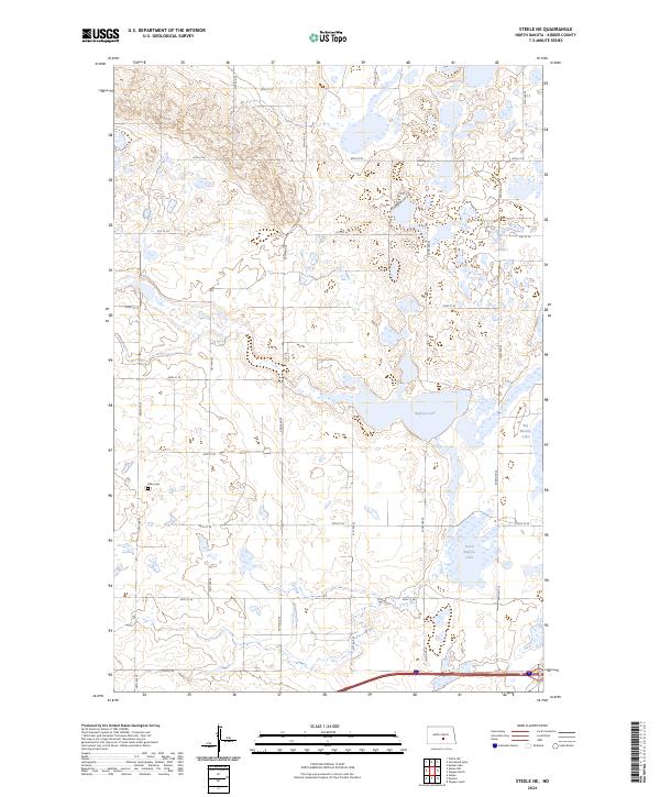
2024 Map of Steele NE
USGS Topo · Published 2024About this map
Allen Cem stands as a quiet focal point in this portion of the North Dakota plains, marking the resting place of early settlers amidst a landscape dominated by glacial lakes and wetlands. The terrain is defined by the significant footprint of the Kidder County Waterfowl Production Area, which spans across several sections to preserve the vital prairie pothole habitat. Large water bodies including Buffalo Lake, Dead Buffalo Lake, and Big Muddy Lake characterize the local geography, illustrating the importance of these wetlands to the regional ecology. A structured grid of section-line roads, such as 29th St SE and 35th St SE, provides access to the surrounding agricultural and conservation lands, while N Meadowlark Way offers a less conventional route through the hills north of the lakes.
Find a feature on this map
21 named features on this map. Tap any name to fly to it.
Don’t see what you’re looking for? This feature index may not catch every label — zoom into the map to look around manually.
Map Details
Editions of this 2024 Steele NE Map
This is the sole edition of this map. No revisions or reprints were ever made.
Other maps of this area

1952 · Tappen South
USGS Topo · 1:24,000

1952 · Dawson
USGS Topo · 1:24,000

1952 · Tappen North
USGS Topo · 1:24,000

1952 · Steele NE
USGS Topo · 1:24,000

1952 · Steele
USGS Topo · 1:24,000

1952 · Steele NW
USGS Topo · 1:24,000

1952 · New Rockford
USGS Topo · 1:250,000

1953 · Jamestown
USGS Topo · 1:250,000

1956 · New Rockford
USGS Topo · 1:250,000

1956 · Jamestown
USGS Topo · 1:250,000