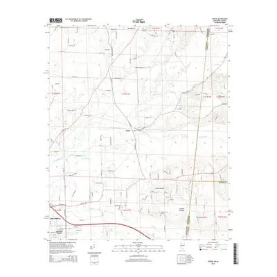
2015 Map of Steens
USGS Topo · Published 2015About this map
Luxapallila Creek defines the central topography of this borderland region, where Lowndes County meets the Alabama state line. The settlement of Steens serves as a local focal point, situated near Jamisons Mill Pond and Bonny Slough. To the southwest, the outskirts of Columbus begin to appear, including residential developments like Remunda Estates and Labelle Estates. The landscape is a mix of small watercourses such as Magby Cr and Yellow Creek, interspersed with a network of rural roads that connect family-named landmarks and local sites.
Find a feature on this map
139 named features on this map. Tap any name to fly to it.
Don’t see what you’re looking for? This feature index may not catch every label — zoom into the map to look around manually.
Map Details
Editions of this 2015 Steens Map
This is the sole edition of this map. No revisions or reprints were ever made.
Other maps of this area

1953 · West Point
USGS Topo · 1:250,000

1958 · West Point
USGS Topo · 1:250,000

1960 · Caledonia
USGS Topo · 1:62,500

1960 · Columbus
USGS Topo · 1:62,500

1963 · West Point
USGS Topo · 1:250,000

1966 · Ethelsville
USGS Topo · 1:24,000

1967 · Millport NW
USGS Topo · 1:24,000

1967 · Fernbank
USGS Topo · 1:24,000

1982 · West Point
USGS Topo · 1:100,000

1984 · West Point
USGS Topo · 1:250,000