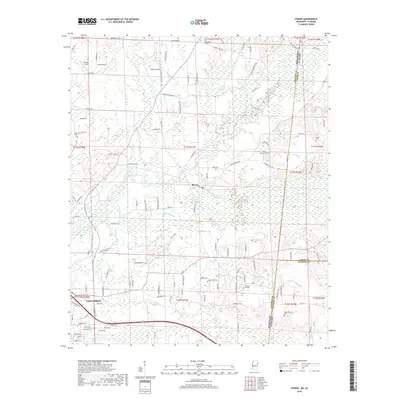
2018 Map of Steens
USGS Topo · Published 2018About this map
Steens sits at the heart of this Lowndes County landscape, situated near the winding course of Luxapallila Creek. The area is characterized by a complex network of waterways, including Benny Slough, Bonny Slough, and Jamisons Mill Pond, reflecting the low-lying, hydrologically active terrain of the Mississippi-Alabama borderlands. While the northeastern portion of Columbus enters the frame in the southwest, much of the map focuses on rural settlements and local landmarks. Genealogists can find numerous family and community sites, such as Piney Grove Cem, Woodlawn Cem, and Pleasant Hill Cem. The boundary between Lowndes County, Mississippi, and Lamar County, Alabama, runs vertically through the eastern portion of the map, illustrating how local roads like WolFE RD and Military RD serve as connectors across these state and county lines.
Find a feature on this map
127 named features on this map. Tap any name to fly to it.
Don’t see what you’re looking for? This feature index may not catch every label — zoom into the map to look around manually.
Map Details
Editions of this 2018 Steens Map
This is the sole edition of this map. No revisions or reprints were ever made.
Other maps of this area

1953 · West Point
USGS Topo · 1:250,000

1958 · West Point
USGS Topo · 1:250,000

1960 · Caledonia
USGS Topo · 1:62,500

1960 · Columbus
USGS Topo · 1:62,500

1963 · West Point
USGS Topo · 1:250,000

1966 · Ethelsville
USGS Topo · 1:24,000

1967 · Millport NW
USGS Topo · 1:24,000

1967 · Fernbank
USGS Topo · 1:24,000

1982 · West Point
USGS Topo · 1:100,000

1984 · West Point
USGS Topo · 1:250,000