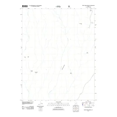
2011 Map of Steep Creek Bench
USGS Topo · Published 2011About this map
Steep Creek Bench dominates this Garfield County landscape, defined by a complex network of drainage systems and high-desert terrain. In the western portion of the quadrangle, the Long Neck ridge overlooks the Long Neck Cabin, one of the few named structures in this isolated territory. The hydrology is characterized by numerous seasonal and perennial flows including Steep Creek, Frisky Creek, and Deer Creek, which have carved deep features such as Slickrock Canyon and Cottonwood Canyon. To the east, the elevation rises sharply toward Impossible Peak, while the historic route of the Burr Trl winds through the southeastern corner. This survey documents the intersection of vital water sources and difficult topography, illustrating the physical barriers that have shaped land use and access in the region.
Find a feature on this map
13 named features on this map. Tap any name to fly to it.
Don’t see what you’re looking for? This feature index may not catch every label — zoom into the map to look around manually.
Map Details
Editions of this 2011 Steep Creek Bench Map
This is the sole edition of this map. No revisions or reprints were ever made.
Other maps of this area

1885 · Fish Lake
USGS Topo · 1:250,000

1886 · Escalante
USGS Topo · 1:250,000

1896 · Fish Lake
USGS Topo · 1:250,000

1952 · Notom 3 SW
USGS Topo · 1:24,000

1952 · Notom 4 SW
USGS Topo · 1:24,000

1952 · Notom 3 SE
USGS Topo · 1:24,000

1952 · Grover
USGS Topo · 1:62,500

1952 · Notom
USGS Topo · 1:62,500

1953 · Circle Cliffs 2 NE
USGS Topo · 1:24,000

1953 · Circle Cliffs 1 SW
USGS Topo · 1:24,000