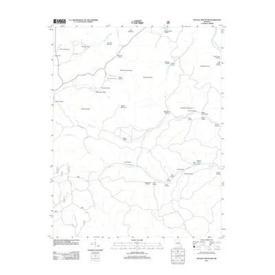
2011 Map of Stegall Mountain
USGS Topo · Published 2011About this map
Stegall Mountain and the surrounding peaks of Carter County define this landscape, where the deeply carved Ozark terrain is marked by dozens of named hollows and ridges. The Current River clips the northeastern corner, but the interior drainage is dominated by the networks of Rocky Creek and Rogers Creek. A notable point of interest is Rocky Falls, where a shut-in forms a natural landmark near the Rocky Falls Picnic Area. For local historians and genealogists, the Reed Cemetery remains a visible marker of early settlement near the base of Shut-In Mountain. The map details a complex web of forest and county roads, including Peck Ranch Rd and Co RD H-522, which navigate through evocatively named locations like Winding Stairs Hollow, Terrapin Hollow, and Wildcat Hollow.
Find a feature on this map
53 named features on this map. Tap any name to fly to it.
Don’t see what you’re looking for? This feature index may not catch every label — zoom into the map to look around manually.
Map Details
Editions of this 2011 Stegall Mountain Map
This is the sole edition of this map. No revisions or reprints were ever made.
Other maps of this area

1915 · Eminence
USGS Topo · 1:62,500

1917 · Eminence
USGS Topo · 1:62,500

1928 · Cardareva
USGS Topo · 1:62,500

1931 · Bandyville
USGS Topo · 1:48,000

1944 · Van Buren
USGS Topo · 1:62,500

1944 · Birch Tree
USGS Topo · 1:62,500

1946 · Van Buren
USGS Topo · 1:62,500

1948 · Birch Tree
USGS Topo · 1:62,500

1949 · Rolla
USGS Topo · 1:250,000

1949 · Cardareva
USGS Topo · 1:62,500