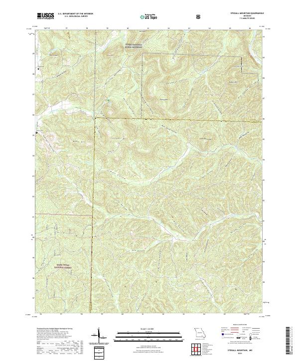
2021 Map of Stegall Mountain
USGS Topo · Published 2021About this map
Ozark National Scenic Riverway and the Mark Twain National Forest converge in this section of the Missouri Ozarks, defined by a series of prominent peaks and deep hollows. The terrain is marked by high points like Stegall Mtn, Thorny Mtn, and Shut-In Mtn, while the Current River flows through the northeastern corner. This landscape reflects the intersection of protected public lands and local history, where isolated family sites like Reed Cem and Horner Cem remain as markers of earlier settlement among the timbered ridges.
Find a feature on this map
64 named features on this map. Tap any name to fly to it.
Don’t see what you’re looking for? This feature index may not catch every label — zoom into the map to look around manually.
Map Details
Editions of this 2021 Stegall Mountain Map
This is the sole edition of this map. No revisions or reprints were ever made.
Other maps of this area

1915 · Eminence
USGS Topo · 1:62,500

1917 · Eminence
USGS Topo · 1:62,500

1928 · Cardareva
USGS Topo · 1:62,500

1931 · Bandyville
USGS Topo · 1:48,000

1944 · Van Buren
USGS Topo · 1:62,500

1944 · Birch Tree
USGS Topo · 1:62,500

1946 · Van Buren
USGS Topo · 1:62,500

1948 · Birch Tree
USGS Topo · 1:62,500

1949 · Rolla
USGS Topo · 1:250,000

1949 · Cardareva
USGS Topo · 1:62,500