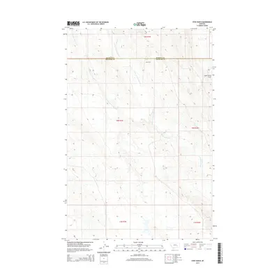
2014 Map of Steie Ranch
USGS Topo · Published 2014About this map
Steie Ranch sits at the heart of this dryland landscape on the high plains of central Montana. The terrain is defined by a dendritic network of drainages, most notably the system surrounding Froze to Death Cr. The map details the headwaters of several major branches, including the W Fork Froze to Death Cr and E Fork Froze to Death Cr, which carve through the plateaus of Rosebud and Treasure counties. To the northeast, the land drops into the Geyser Spring Coulee, a significant topographical break. This 2014 survey documents the enduring ranching character of the region, where connectivity is maintained by a sparse network of section lines and improved tracks like Steie Rd. The naming of the local creeks provides a clear indication of the challenging environmental conditions that have historically faced settlers and livestock in this portion of the Big Sky state.
Find a feature on this map
13 named features on this map. Tap any name to fly to it.
Don’t see what you’re looking for? This feature index may not catch every label — zoom into the map to look around manually.
Map Details
Editions of this 2014 Steie Ranch Map
This is the sole edition of this map. No revisions or reprints were ever made.
Other maps of this area

1954 · Forsyth
USGS Topo · 1:250,000

1957 · Forsyth
USGS Topo · 1:250,000

1958 · Forsyth
USGS Topo · 1:250,000

1960 · Hysham
USGS Topo · 1:24,000

1960 · Steie Ranch
USGS Topo · 1:24,000

1960 · Ahles
USGS Topo · 1:24,000

1960 · Myers
USGS Topo · 1:24,000

1960 · Rancher Cemetery
USGS Topo · 1:24,000

1960 · Thebes
USGS Topo · 1:24,000

1960 · Ingomar West
USGS Topo · 1:24,000