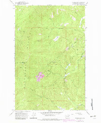
1965 Map of Stensgar Mtn.
USGS Topo · Published 1983About this map
Huckleberry Mountain dominates this rugged corner of Stevens County, serving as the backdrop for an intensive mining landscape that reached from the ridge lines down into the creek valleys. During the mid-1960s, a concentration of industrial activity is visible along the eastern slopes, where the Red Marble Quarry stands out alongside numerous workings like the Wells Fargo Mine and Admiral Mine. These sites suggest a period of resource extraction focused on the mineral wealth of the Huckleberry Range, supported by a network of steep trails and the winding course of Deer Creek.
Find a feature on this map
29 named features on this map. Tap any name to fly to it.
Don’t see what you’re looking for? This feature index may not catch every label — zoom into the map to look around manually.
Map Details
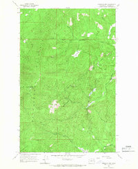
Editions of this 1965 Stensgar Mtn. Map
2 editions found
Other maps of this area

1927 · Chewelah
USGS Topo · 1:125,000

1930 · Chewelah
USGS Topo · 1:125,000

1948 · Hunters
USGS Topo · 1:62,500

1950 · Hunters
USGS Topo · 1:62,500

1950 · Inchelium
USGS Topo · 1:62,500

1954 · Okanogan
USGS Topo · 1:250,000

1958 · Okanogan
USGS Topo · 1:250,000

1958 · Sandpoint
USGS Topo · 1:250,000

1963 · Sandpoint
USGS Topo · 1:250,000
1965 · Empey Mountain
USGS Topo · 1:24,000