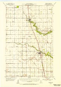
1954 Map of Stephen
USGS Topo · Published 1955About this map
The Great Northern railroad corridor anchors this mid-century survey of the Red River Valley, connecting the agricultural hubs of Stephen and Argyle. The landscape is defined by a rigorous grid of drainage infrastructure, such as State Ditch No 2 and County Ditch No 11, which manage the flat terrain between the meandering Tamarac River and Middle River.
Find a feature on this map
40 named features on this map. Tap any name to fly to it.
Don’t see what you’re looking for? This feature index may not catch every label — zoom into the map to look around manually.
Map Details
Editions of this 1954 Stephen Map
2 editions found
Other maps of this area

1918 · Angus
USGS Topo · 1:62,500

1918 · Acton
USGS Topo · 1:62,500

1918 · Argyle
USGS Topo · 1:62,500

1918 · Warren
USGS Topo · 1:62,500

1939 · Drayton
USGS Topo · 1:62,500

1939 · Kennedy
USGS Topo · 1:62,500

1941 · Kennedy
USGS Topo · 1:62,500

1941 · Drayton
USGS Topo · 1:62,500

1952 · Thief River Falls
USGS Topo · 1:250,000

1954 · Stephen
USGS Topo · 1:62,500