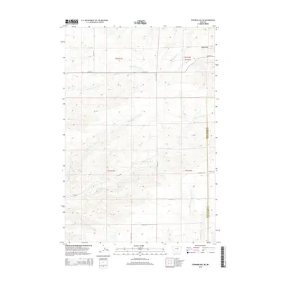
2014 Map of Stephens Hill NE
USGS Topo · Published 2014About this map
The high plains of the West Bench define this corner of Montana where the border of Sweet Grass and Stillwater counties meet. The landscape is carved by a complex network of seasonal and perennial waterways, most notably the several branches of the Sweet Grass Creek system. The Middle Fork Sweet Grass Cr, E Fork Sweet Grass Cr, and Dry Fork Sweet Grass Cr descend through the undulating terrain, flanked by local landmarks like Hoppy Gulch. This 2014 survey documents the enduring rural road network that connects these drainage basins, including thoroughfares such as Rapelje Rd, Stevens Hill Rd, and Union Hall Rd. The drainage pattern suggests a classic ranching environment where water sources like W White Beaver Cr and Whitney Cr dictate the layout of property boundaries and access routes.
Find a feature on this map
21 named features on this map. Tap any name to fly to it.
Don’t see what you’re looking for? This feature index may not catch every label — zoom into the map to look around manually.
Map Details
Editions of this 2014 Stephens Hill NE Map
This is the sole edition of this map. No revisions or reprints were ever made.
Other maps of this area

1889 · Big Snowy Mountain
USGS Topo · 1:250,000

1891 · Big Timber
USGS Topo · 1:125,000

1892 · Stillwater
USGS Topo · 1:125,000

1893 · Big Snowy Mountain
USGS Topo · 1:250,000

1893 · Big Timber
USGS Topo · 1:125,000

1954 · Billings
USGS Topo · 1:250,000

1954 · Roundup
USGS Topo · 1:250,000

1955 · Antelope Point
USGS Topo · 1:24,000

1955 · Russell Gulch
USGS Topo · 1:24,000

1955 · Stephens Hill
USGS Topo · 1:24,000