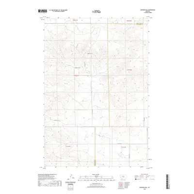
2020 Map of Stephens Hill
USGS Topo · Published 2020About this map
Stephens Hill rises as the central landmark in this portion of the Montana landscape, straddling the boundary between Sweet Grass and Stillwater counties. The drainage of W White Beaver Cr cuts through the eastern half of the terrain, while the rugged north is defined by Wullum Gulch. This modern survey reveals a network of rural routes and primitive paths that characterize the area's contemporary ranching and agricultural life. Local names like Swindler Rd and Deadmans Canyon Rd hint at the region's long-established geography. The presence of Dry Hole Trl suggests a history of resource exploration or the challenges of finding water in this high-plains environment, while Spring Cr provides a rare perennial water source in the northeast corner of the quadrangle.
Find a feature on this map
20 named features on this map. Tap any name to fly to it.
Don’t see what you’re looking for? This feature index may not catch every label — zoom into the map to look around manually.
Map Details
Editions of this 2020 Stephens Hill Map
This is the sole edition of this map. No revisions or reprints were ever made.
Other maps of this area

1891 · Big Timber
USGS Topo · 1:125,000

1892 · Stillwater
USGS Topo · 1:125,000

1893 · Big Timber
USGS Topo · 1:125,000

1954 · Billings
USGS Topo · 1:250,000

1955 · Antelope Point
USGS Topo · 1:24,000

1955 · Reed Point
USGS Topo · 1:24,000

1955 · Springtime
USGS Topo · 1:24,000

1955 · Russell Gulch
USGS Topo · 1:24,000

1955 · Stephens Hill
USGS Topo · 1:24,000
1956 · Work Creek
USGS Topo · 1:24,000