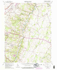
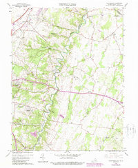
1966 Map of Stephenson
USGS Topo · Published 1987About this map
Opequon Creek carves a winding path through the borderlands of Frederick and Clarke counties, anchoring a landscape defined by small crossroads settlements and rural congregations. The topography is marked by notable rises like Backbone and the limestone industrial presence of a Quarry and Shale Pit. Local life in the mid-1960s centered on institutions such as Stonewall Sch, the Holy Trinity Mission Seminary, and the County Fairgrounds.
Find a feature on this map
55 named features on this map. Tap any name to fly to it.
Don’t see what you’re looking for? This feature index may not catch every label — zoom into the map to look around manually.
Map Details
Editions of this 1966 Stephenson Map
5 editions found
Other maps of this area

1884 · Harpers Ferry
USGS Topo · 1:125,000

1891 · Harpers Ferry
USGS Topo · 1:125,000

1893 · Harpers Ferry
USGS Topo · 1:125,000

1894 · Winchester
USGS Topo · 1:125,000

1914 · Martinsburg
USGS Topo · 1:48,000

1914 · Gerrardstown
USGS Topo · 1:48,000

1916 · Gerrardstown
USGS Topo · 1:62,500

1916 · Martinsburg
USGS Topo · 1:62,500

1916 · Berryville
USGS Topo · 1:62,500

1937 · Gerrardstown
USGS Topo · 1:48,000