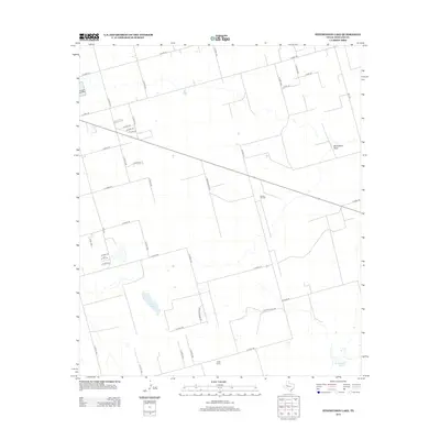
2012 Map of Stephenson Lake
USGS Topo · Published 2012About this map
Willis Ranch and the Azalea Oil Field anchor this 2012 survey of the high plains in Midland County. The landscape is defined by the ephemeral hydrology of the Llano Estacado, where Monahans Draw meanders across a grid of section roads and ranch tracks. Isolated water features like Consavvy Lake and the namesake Stephenson Lake provide rare landmarks in this oil-producing region.
Find a feature on this map
37 named features on this map. Tap any name to fly to it.
Don’t see what you’re looking for? This feature index may not catch every label — zoom into the map to look around manually.
Map Details
Editions of this 2012 Stephenson Lake Map
This is the sole edition of this map. No revisions or reprints were ever made.
Other maps of this area

1954 · Hobbs
USGS Topo · 1:250,000

1954 · Pecos
USGS Topo · 1:250,000

1954 · Big Spring
USGS Topo · 1:250,000

1954 · San Angelo
USGS Topo · 1:250,000

1957 · Pecos
USGS Topo · 1:250,000

1958 · San Angelo
USGS Topo · 1:250,000

1958 · Big Spring
USGS Topo · 1:250,000

1958 · Hobbs
USGS Topo · 1:250,000

1964 · Bryant Ranch
USGS Topo · 1:24,000

1965 · San Angelo
USGS Topo · 1:250,000