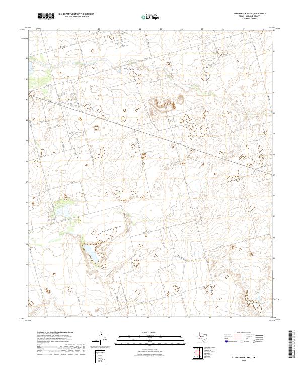
2022 Map of Stephenson Lake
USGS Topo · Published 2022About this map
Midland Draw and Monahans Draw carve distinctive drainage patterns across this Midland County landscape, defining the local topography in an area characterized by intermittent watercourses. The map captures a transition between rural ranching land and the expanding road network of the Permian Basin, evidenced by the grid of county roads such as E Co Rd 120 and S Co Rd 1110. The presence of Pvt Ranch Rd and other private thoroughfares suggests the enduring legacy of large-scale landholdings even as infrastructure like E Fm 158 and Fm 1213 facilitates movement through the region. This 2022 survey provides a clear view of the intersection between natural draws and the man-made boundaries that dictate contemporary West Texas land use.
Find a feature on this map
41 named features on this map. Tap any name to fly to it.
Don’t see what you’re looking for? This feature index may not catch every label — zoom into the map to look around manually.
Map Details
Editions of this 2022 Stephenson Lake Map
This is the sole edition of this map. No revisions or reprints were ever made.
Other maps of this area

1954 · Hobbs
USGS Topo · 1:250,000

1954 · Pecos
USGS Topo · 1:250,000

1954 · Big Spring
USGS Topo · 1:250,000

1954 · San Angelo
USGS Topo · 1:250,000

1957 · Pecos
USGS Topo · 1:250,000

1958 · San Angelo
USGS Topo · 1:250,000

1958 · Big Spring
USGS Topo · 1:250,000

1958 · Hobbs
USGS Topo · 1:250,000

1964 · Bryant Ranch
USGS Topo · 1:24,000

1965 · San Angelo
USGS Topo · 1:250,000