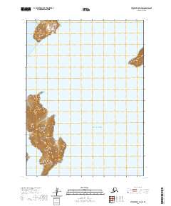
2020 Map of Stepovak Bay D-4 SW
USGS Topo · Published 2020About this map
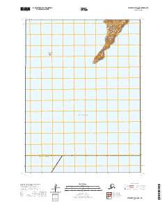
Paul Island dominates the western coastline of this maritime survey, stretching through the waters of the Gulf of Alaska. The terrain is characterized by the sheltered inlet of Kupreanof Harbor, providing a stark contrast to the exposed southern reaches of the island. To the north, the shoreline continues toward Humpback Bay, where the land terminates at the distinctive Coal Point. This coastal landscape in the Lake and Peninsula Borough illustrates the complex interaction between the Aleutian Range and the sea, where steep elevations meet the tidewater. The map detail highlights the isolation of these island and peninsula landforms, providing a precise record of the shoreline and maritime boundaries as they existed in the early twenty-first century.
Find a feature on this map
8 named features on this map. Tap any name to fly to it.
Don’t see what you’re looking for? This feature index may not catch every label — zoom into the map to look around manually.
Map Details
Editions of this 2020 Stepovak Bay D-4 SW Map
This is the sole edition of this map. No revisions or reprints were ever made.
Other maps of this area

1951 · Stepovak Bay
USGS Topo · 1:250,000
1963 · Stepovak Bay C-5 and C-6
USGS Topo · 1:63,360

1963 · Stepovak Bay D-4
USGS Topo · 1:63,360

1963 · Stepovak Bay D-5
USGS Topo · 1:63,360

1963 · Stepovak Bay
USGS Topo · 1:250,000

1969 · Stepovak Bay
USGS Topo · 1:250,000
2020 · Stepovak Bay D-4 NW
USGS Topo · 1:25,000
2020 · Stepovak Bay D-4 NE
USGS Topo · 1:25,000
2020 · Stepovak Bay C-5 NE
USGS Topo · 1:25,000
2020 · Stepovak Bay D-4 OE S NW
USGS Topo · 1:25,000