
1963 Map of Stepovak Bay
USGS Topo · Published 1969About this map
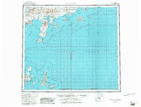
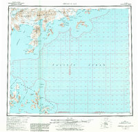
The Alaska Peninsula and the rugged coastline of the Pacific Ocean dominate this mid-century survey. The village of Perryville stands as a focal point of settlement along the coast, situated near the Kametolook River and sheltered by the surrounding peaks of the Aleutian Range. The map reveals a complex maritime landscape of deep inlets and rocky headlands, including the prominent Kupreanof Peninsula and the remote Shumagin Islands. To the south, the West Nagai Strait and East Nagai Strait flank the various bights and harbors of the outer islands, such as Sanborn Harbor and Nagai East Bight. Evidence of coastal activity is found in isolated Cabins and a designated Landing Area near the mouth of the Ivanof River. Notable landmarks like Red Bluff Mountain and Hag Peak provide significant navigational aids for this seafaring region.
Find a feature on this map
94 named features on this map. Tap any name to fly to it.
Don’t see what you’re looking for? This feature index may not catch every label — zoom into the map to look around manually.
Map Details
Editions of this 1963 Stepovak Bay Map
3 editions found
Other maps of this area

1951 · Stepovak Bay
USGS Topo · 1:250,000

1951 · Sutwik Island
USGS Topo · 1:250,000

1953 · Port Moller
USGS Topo · 1:250,000

1963 · Port Moller A-1
USGS Topo · 1:63,360

1963 · Stepovak Bay D-2
USGS Topo · 1:63,360

1963 · Chignik A-4
USGS Topo · 1:63,360
1963 · Stepovak Bay C-5 and C-6
USGS Topo · 1:63,360

1963 · Stepovak Bay D-4
USGS Topo · 1:63,360

1963 · Chignik A-6
USGS Topo · 1:63,360
1963 · Simeonof Island D-2
USGS Topo · 1:63,360