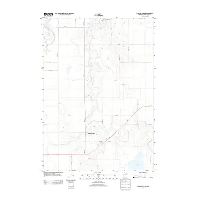
2013 Map of Sterling Center
USGS Topo · Published 2013About this map
Sterling Center serves as the focal point of this agricultural landscape in southern Blue Earth County. The area is defined by the winding course of the Maple River, which meanders through the central section of the map, and the Blue Earth River in the northwest corner. This 2013 survey illustrates a modern rural grid where long-established burial grounds like Saint Johns Cem, Calvary Cem, and Sterling Cem remain preserved alongside active farmland. The intricate hydrology of the region is evident in the managed flow of Judicial Ditch Number Forty-nine and the presence of Lura Lake in the southeast. A dense network of township roads, such as TWP HWY 362 and TWP HWY 24, provides local access to the homesteads and fields that have long supported the county's agrarian economy.
Find a feature on this map
36 named features on this map. Tap any name to fly to it.
Don’t see what you’re looking for? This feature index may not catch every label — zoom into the map to look around manually.
Map Details
Editions of this 2013 Sterling Center Map
This is the sole edition of this map. No revisions or reprints were ever made.
Other maps of this area

1950 · Mankato East
USGS Topo · 1:62,500

1951 · Mankato East
USGS Topo · 1:62,500

1951 · Mankato West
USGS Topo · 1:62,500

1953 · Saint Paul
USGS Topo · 1:250,000

1953 · New Ulm
USGS Topo · 1:250,000

1954 · Fairmont
USGS Topo · 1:250,000

1954 · Mason City
USGS Topo · 1:250,000

1957 · New Ulm
USGS Topo · 1:250,000

1957 · Mason City
USGS Topo · 1:250,000

1958 · New Ulm
USGS Topo · 1:250,000