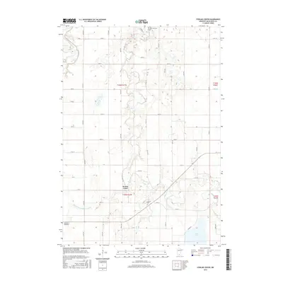
2016 Map of Sterling Center
USGS Topo · Published 2016About this map
Maple River and Blue Earth River define the agricultural landscape of this Blue Earth County region, where the small settlement of Sterling Center serves as a central landmark. The map illustrates a highly managed water system, featuring the engineered path of Judicial Ditch Number Fortynine and the dry expanse of the Jackson Lakebed. For those researching family history, several burial grounds are documented, including Saint Johns Cem and Calvary Cem in the north, and Sterling Cem situated near the river. The southern edge is dominated by the waters of Lura Lake, providing a contrast to the geometric grid of county roads like Co Rd 166 and Co Rd 29 that partition the surrounding farmland.
Find a feature on this map
51 named features on this map. Tap any name to fly to it.
Don’t see what you’re looking for? This feature index may not catch every label — zoom into the map to look around manually.
Map Details
Editions of this 2016 Sterling Center Map
This is the sole edition of this map. No revisions or reprints were ever made.
Other maps of this area

1950 · Mankato East
USGS Topo · 1:62,500

1951 · Mankato East
USGS Topo · 1:62,500

1951 · Mankato West
USGS Topo · 1:62,500

1953 · Saint Paul
USGS Topo · 1:250,000

1953 · New Ulm
USGS Topo · 1:250,000

1954 · Fairmont
USGS Topo · 1:250,000

1954 · Mason City
USGS Topo · 1:250,000

1957 · New Ulm
USGS Topo · 1:250,000

1957 · Mason City
USGS Topo · 1:250,000

1958 · New Ulm
USGS Topo · 1:250,000