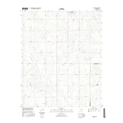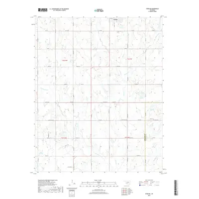
2022 Map of Sterling
USGS Topo · Published 2022About this map
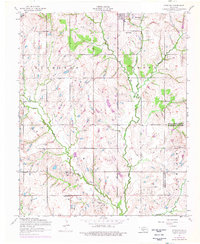
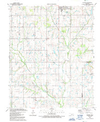
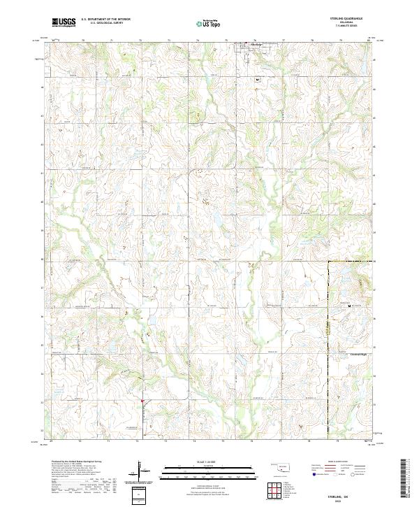
The town of Sterling sits at the northern edge of this agricultural landscape, where the local grid of section roads like Cline Rd and Lake Rd organizes the rolling terrain. The area is defined by a dense network of watercourses, most notably Ninemile Beaver Cr and Beaver Cr, which feed numerous unnamed and coded water bodies such as 031005 Reservoir. To the southeast, the settlement of Central High marks the boundary where Comanche Co meets Stephens Co. For local historians and genealogists, the map identifies significant sites such as the Sterling Cem near the town center and the Denton Cem further south near Mt View Rd. The transition from rural homesteads to structured water management is evident in the many reservoirs that dot the drainage basins of Whisky Cr and Cottonwood Cr.
Find a feature on this map
59 named features on this map. Tap any name to fly to it.
Don’t see what you’re looking for? This feature index may not catch every label — zoom into the map to look around manually.
Map Details
Editions of this 2022 Sterling Map
This is the sole edition of this map. No revisions or reprints were ever made.
Historical Maps of Central High Through Time
7 maps found