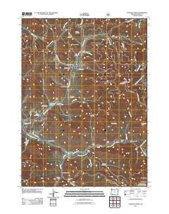
2011 Map of Sterling Creek
USGS Topo · Published 2011About this map
Buncom serves as a central point of historical interest in this southern Oregon landscape, where the waters of Sterling Creek meet the Little Applegate River. The terrain is defined by a dense network of gulches and ridges, including Nelson Mountain and the high vantage of Anderson Butte Lookout. This area reflects a legacy of hydraulic mining and resource management, evidenced by the Sterling Ditch winding through the hills and the presence of the Sleeppy Mine near Coleman Creek. Local history is preserved at the Sterling Cemetery and across various family-named sites like Barr Ranch and Cass Ranch. Reservoirs such as Schlesinger Reservoir and Brown Reservoir indicate the complex water infrastructure necessary for the region's agricultural and mining history.
Find a feature on this map
61 named features on this map. Tap any name to fly to it.
Don’t see what you’re looking for? This feature index may not catch every label — zoom into the map to look around manually.
Map Details
Editions of this 2011 Sterling Creek Map
This is the sole edition of this map. No revisions or reprints were ever made.
Other maps of this area

1891 · Ashland
USGS Topo · 1:250,000

1893 · Ashland
USGS Topo · 1:250,000

1897 · Ashland
USGS Topo · 1:250,000

1908 · Grants Pass
USGS Topo · 1:125,000

1938 · Medford
USGS Topo · 1:125,000

1954 · Medford
USGS Topo · 1:62,500

1954 · Gold Hill
USGS Topo · 1:62,500

1954 · Talent
USGS Topo · 1:62,500

1954 · Ruch
USGS Topo · 1:62,500

1955 · Medford
USGS Topo · 1:250,000