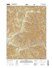
2017 Map of Sterling Creek
USGS Topo · Published 2017About this map
The settlement of Buncom serves as a focal point in this southern Oregon landscape, where the legacy of hydraulic mining and early irrigation is etched into the terrain. The Sterling Mine Ditch Trail follows the path of a historic water conveyance system that once served gold operations, winding past numerous named drainages such as Sailor Gulch and Miller Gulch. The Little Applegate River cuts through the southern portion of the quadrangle, flanked by numerous gulches that speak to the area's prospecting past, including McCormick Gulch and Cantrall Gulch.
Find a feature on this map
75 named features on this map. Tap any name to fly to it.
Don’t see what you’re looking for? This feature index may not catch every label — zoom into the map to look around manually.
Map Details
Editions of this 2017 Sterling Creek Map
This is the sole edition of this map. No revisions or reprints were ever made.
Other maps of this area

1891 · Ashland
USGS Topo · 1:250,000

1893 · Ashland
USGS Topo · 1:250,000

1897 · Ashland
USGS Topo · 1:250,000

1908 · Grants Pass
USGS Topo · 1:125,000

1938 · Medford
USGS Topo · 1:125,000

1954 · Medford
USGS Topo · 1:62,500

1954 · Gold Hill
USGS Topo · 1:62,500

1954 · Talent
USGS Topo · 1:62,500

1954 · Ruch
USGS Topo · 1:62,500

1955 · Medford
USGS Topo · 1:250,000