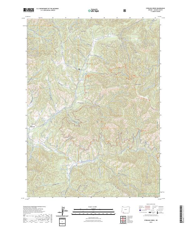
2023 Map of Sterling Creek
USGS Topo · Published 2023About this map
Buncom stands as a focal point in this southern Oregon landscape, where the confluence of the Little Applegate River and Sterling Creek shaped the region's early development. The map reveals an intricate hydraulic history through labels for the China Ditch and Sterling Ditch, remnants of the extensive water systems once utilized for gold mining in the Applegate Valley. These man-made watercourses wind through a terrain marked by deep gulches and canyons, such as Deming Gulch and Eagle Canyon, leading up to landmarks like Anderson Butte. Near the northern border, Sterling Cem remains a physical link to the families of the former mining camps. Significant portions of the eastern and southern sectors are occupied by the Rogue River National Forest, where topography rises toward Goat Cabin Ridge and Nelson Mtn. This record provides a clear look at the relationship between water management and early settlement patterns in Jackson County.
Find a feature on this map
60 named features on this map. Tap any name to fly to it.
Don’t see what you’re looking for? This feature index may not catch every label — zoom into the map to look around manually.
Map Details
Editions of this 2023 Sterling Creek Map
This is the sole edition of this map. No revisions or reprints were ever made.
Other maps of this area

1891 · Ashland
USGS Topo · 1:250,000

1893 · Ashland
USGS Topo · 1:250,000

1897 · Ashland
USGS Topo · 1:250,000

1908 · Grants Pass
USGS Topo · 1:125,000

1938 · Medford
USGS Topo · 1:125,000

1954 · Medford
USGS Topo · 1:62,500

1954 · Gold Hill
USGS Topo · 1:62,500

1954 · Talent
USGS Topo · 1:62,500

1954 · Ruch
USGS Topo · 1:62,500

1955 · Medford
USGS Topo · 1:250,000