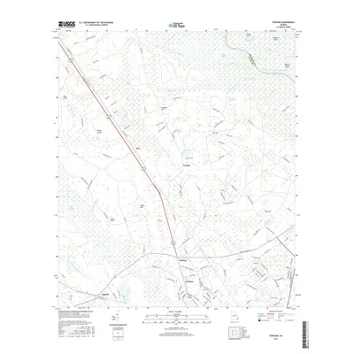
2017 Map of Sterling
USGS Topo · Published 2017About this map
The Altamaha River and its intricate network of marshes define this section of coastal Georgia along the McIntosh and Glynn County line. The landscape is a complex of wetlands including the expansive Honeygall Swamp, Clayhole Swamp, and Green Swamp, punctuated by higher ground such as Liz Hill and Pennant Hill. Settlement patterns follow the corridor of the Golden Isles Pkwy, where communities like Sterling, Brobston, and Zuta are situated.
Find a feature on this map
118 named features on this map. Tap any name to fly to it.
Don’t see what you’re looking for? This feature index may not catch every label — zoom into the map to look around manually.
Map Details
Editions of this 2017 Sterling Map
This is the sole edition of this map. No revisions or reprints were ever made.
Other maps of this area

1918 · Everett City
USGS Topo · 1:62,500

1918 · Bladen
USGS Topo · 1:62,500

1920 · Everett City
USGS Topo · 1:62,500

1921 · Darien
USGS Topo · 1:62,500

1939 · Bladen
USGS Topo · 1:62,500

1944 · Everett City
USGS Topo · 1:62,500

1945 · Brunswick
USGS Topo · 1:62,500

1946 · Brunswick
USGS Topo · 1:250,000

1948 · Brunswick
USGS Topo · 1:250,000
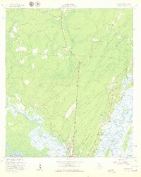
1954 · Ridgeville
USGS Topo · 1:24,000