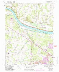
1968 Map of Sterling
USGS Topo · Published 1984About this map
The Potomac River carves the boundary between Maryland and Virginia, anchoring a landscape where historical transportation corridors meet mid-century suburban expansion. Along its northern bank, the Chesapeake and Ohio Canal National Historical Park preserves the old Towpath, while just to the south, the W & OD Trail marks the former path of the Washington and Old Dominion Railroad. Large river islands like Selden Island and Van Deventer Island divide the current, overlooking the Mc Kee-Beshers Wildlife Management Area.
Find a feature on this map
65 named features on this map. Tap any name to fly to it.
Don’t see what you’re looking for? This feature index may not catch every label — zoom into the map to look around manually.
Map Details
Editions of this 1968 Sterling Map
4 editions found
Other maps of this area

1884 · Harpers Ferry
USGS Topo · 1:125,000

1890 · Mt. Vernon
USGS Topo · 1:125,000

1891 · Harpers Ferry
USGS Topo · 1:125,000

1891 · Mt. Vernon
USGS Topo · 1:125,000

1893 · Frederick
USGS Topo · 1:125,000

1893 · Harpers Ferry
USGS Topo · 1:125,000

1894 · Warrenton
USGS Topo · 1:125,000

1894 · Frederick
USGS Topo · 1:125,000

1894 · Mt. Vernon
USGS Topo · 1:125,000

1897 · Mt. Vernon
USGS Topo · 1:125,000