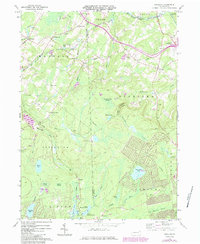
1965 Map of Sterling
USGS Topo · Published 1984About this map
Wallenpaupack Creek and its western branch dominate the northern drainage of this Pocono plateau landscape, where the border of Wayne and Lackawanna counties splits several townships. In the mid-1960s, the region maintained a mix of small agricultural hamlets like Quicktown and Madisonville alongside growing recreational and infrastructure developments. Local education and community history are anchored by landmarks such as the Drinker Sch and the Jericho Cem.
Find a feature on this map
59 named features on this map. Tap any name to fly to it.
Don’t see what you’re looking for? This feature index may not catch every label — zoom into the map to look around manually.
Map Details
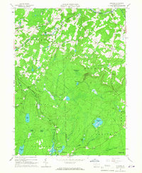
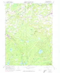
Editions of this 1965 Sterling Map
3 editions found
Other maps of this area

1889 · Scranton
USGS Topo · 1:62,500

1891 · Scranton
USGS Topo · 1:62,500

1893 · Scranton
USGS Topo · 1:62,500

1919 · Pocono
USGS Topo · 1:62,500

1921 · Pocono
USGS Topo · 1:62,500

1922 · Stoddartsville
USGS Topo · 1:62,500

1923 · Pocono
USGS Topo · 1:62,500

1924 · Stoddartsville
USGS Topo · 1:62,500

1928 · Ariel
USGS Topo · 1:62,500

1932 · Ariel
USGS Topo · 1:62,500
Featured Places
- Sterling Township, PA
- Clifton Township, PA
- Madisonville, Madison Township
- Dreher Township, PA
- Lehigh Township, PA