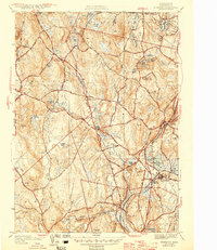
1946 Map of Sterling
USGS Topo · Published 1946About this map
Sterling and its surrounding hill towns are captured here in a period of transition as the mid-century infrastructure of Central Massachusetts takes shape. The landscape is defined by the hydrologic engineering of the Stillwater River and Quinapoxet River basins, featuring complex water management sites like Lynde Basins, Fitch Basin, and the Thomas Basin near Oakdale. These waters supported the growing population centers in Princeton and West Boylston, which are linked by an extensive network of secondary roads such as Governor Road and Princeton Road.
Find a feature on this map
65 named features on this map. Tap any name to fly to it.
Don’t see what you’re looking for? This feature index may not catch every label — zoom into the map to look around manually.
Map Details
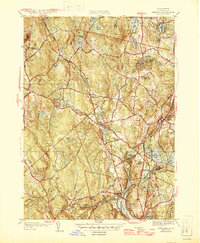
Editions of this 1946 Sterling Map
2 editions found
Other maps of this area

1885 · Worcester
USGS Topo · 1:62,500

1886 · Worcester
USGS Topo · 1:62,500

1887 · Marlboro
USGS Topo · 1:62,500

1887 · Fitchburg
USGS Topo · 1:62,500

1889 · Marlboro
USGS Topo · 1:62,500

1889 · Fitchburg
USGS Topo · 1:62,500

1892 · Worcester
USGS Topo · 1:62,500

1893 · Fitchburg
USGS Topo · 1:62,500

1893 · Groton
USGS Topo · 1:62,500

1896 · Marlboro
USGS Topo · 1:62,500