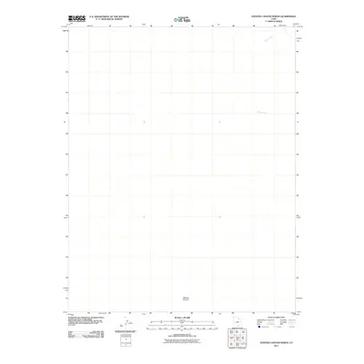
2011 Map of Stevens Canyon North
USGS Topo · Published 2011About this map
Stevens Canyon dominates the southern reaches of this landscape in Kane County, Utah, providing a sharp topographic focal point in an area defined by deep drainage systems. To the northeast, the map tracks the path of Halls Creek as it winds through the desert floor, while Millers Creek cuts across the center-east, illustrating the essential watercourses that shaped this remote terrain. This 2011 survey, produced from imagery and data gathered in the late 2000s, depicts a territory devoid of modern road infrastructure or permanent settlements, preserving a snapshot of the high desert in its natural state. The isolation of these named canyons and creeks highlights the challenges faced by early explorers and surveyors navigating this portion of the Colorado Plateau.
Find a feature on this map
3 named features on this map. Tap any name to fly to it.
Don’t see what you’re looking for? This feature index may not catch every label — zoom into the map to look around manually.
Map Details
Editions of this 2011 Stevens Canyon North Map
This is the sole edition of this map. No revisions or reprints were ever made.
Other maps of this area

1886 · Escalante
USGS Topo · 1:250,000

1886 · Henry Mountains
USGS Topo · 1:250,000

1892 · Henry Mountains
USGS Topo · 1:250,000

1953 · Mt Pennell 3 NW
USGS Topo · 1:24,000

1953 · Mt Pennell 3 SW
USGS Topo · 1:24,000

1953 · Circle Cliffs 4 NE
USGS Topo · 1:24,000

1953 · The Rincon
USGS Topo · 1:62,500

1953 · Hall Mesa
USGS Topo · 1:62,500

1953 · Moody Creek
USGS Topo · 1:62,500

1956 · Escalante
USGS Topo · 1:250,000